Click below to agree to the terms of use.
By clicking the I accept button at the bottom of this page, or by otherwise using the National Land Realty, LLC (“NLR”) website and accessing any content, you agree to be bound by the following terms of use, as updated from time to time (“Terms of Use”).
- Disclaimer about Information Provided. Maps available through this website contain representations of land features compiled from aerial photography, remote sensing technology, recorded deeds and plats, other public records and public data. Users of these maps are hereby notified that the aforementioned public primary information sources should be consulted for verification of the information contained in these maps. These maps are NOT A LAND SURVEY. National Land Realty, LLC, does not warrant the accuracy, reliability or timeliness of any information on this website, including, without limitation, any information relating to any prior sales of any real property, specifically including the purchase price. Portions of such information may be incorrect or not current. Any personal entity that relies on any information obtained from this website does so at his or her own risk. National Land Realty, LLC, hereby disclaims any and all liability arising from the information provided on this website. Any person or entity relying on information from this site does so at their own risk.
- Prohibited Uses. BY USING THE NLR WEBSITE, YOU AGREE NOT TO:
- reproduce, modify, distribute, display or otherwise provide access to, create derivative works from, decompile, disassemble, or reverse engineer any portion of the website or the services provided by the website, except as explicitly permitted under these Terms of Use;
- reproduce, publicly display, or otherwise make accessible on or through any other website, application, or service any reviews, ratings, and/or profile information about real estate, lending, or other professionals, underlying images of or information about real estate listings, or other data or content available through the NLR website, except as explicitly permitted by NLR;
- conduct automated queries (including screen and database scraping, spiders, robots, crawlers, bypassing “captcha” or similar precautions, and any other automated activity with the purpose of obtaining information from the NLR website) on the NLR website;
- Indemnification. You agree to indemnify, defend, and hold harmless NLR, its affiliates, and their respective directors, officers, employees, and agents from any and all claims and demands made by any third party due to or arising out of: (a) your access to or use of the NLR website; (b) your breach of these Terms of Use; (c) your violation of any law or the rights of a third party; (d) any dispute or issue between you and any third party; and (e) your willful misconduct. NLR reserves the right, at its own expense, to assume the exclusive defense and control of any matter otherwise subject to indemnification by you, and in that case, you agree to cooperate with NLR’s defense of that claim.
- No Warranties. THE SERVICES AND INFORMATION PROVIDED ON NLR’S WEBSITE ARE PROVIDED "AS IS," "WITH ALL FAULTS" AND "AS AVAILABLE," AND THE ENTIRE RISK AS TO SATISFACTORY QUALITY, PERFORMANCE, ACCURACY, AND EFFORT IS WITH YOU. TO THE MAXIMUM EXTENT PERMITTED BY APPLICABLE LAW, NLR AND ITS SUPPLIERS MAKE NO REPRESENTATIONS, WARRANTIES OR CONDITIONS, EXPRESS OR IMPLIED. NLR AND ITS SUPPLIERS EXPRESSLY DISCLAIM ANY AND ALL WARRANTIES OR CONDITIONS, EXPRESS, STATUTORY AND IMPLIED. NO ADVICE OR INFORMATION, WHETHER ORAL OR WRITTEN, OBTAINED BY YOU THROUGH THE NLR WEBSITE OR ANY MATERIALS AVAILABLE THROUGH THE NLR WEBSITE WILL CREATE ANY WARRANTY REGARDING ANY NLR ENTITY OR THE NLR WEBSITE THAT IS NOT EXPRESSIVELY STATED IN THESE TERMS OF USE. YOU ASSUME ALL RISK FOR ANY DAMAGE THAT MAY RESULT FROM YOUR USE OF OR ACCESS TO THE NLR WEBSITE, AND ANY MATERIALS, INCLUDING ALL NLR MATERIALS, AVAILABLE THROUGH THE NLR WEBSITE. YOU UNDERSTAND AND AGREE THAT YOUR USE OF THE NLR WEBSITE, AND USE, ACCESS, DOWNLOAD, OR OTHERWISE OBTAINMENT OF MATERIALS THROUGH THE NLR WEBSITE, ARE AT YOUR OWN DISCRETION AND RISK, AND THAT YOU ARE SOLELY RESPONSIBLE FOR ANY DAMAGE TO YOUR PROPERTY (INCLUDING YOUR COMPUTER SYSTEM OR MOBILE DEVICE USED IN CONNECTION WITH THE NLR WEBSITE), OR THE LOSS OF DATA THAT RESULTS FROM THE USE OF THE NLR WEBSITE. SOME JURISDICTIONS MAY PROHIBIT A DISCLAIMER OR WARRANTIES AND YOU MAY HAVE OTHER RIGHTS THAT VARY FROM JURISDICTION TO JURISDICTION.

Why You'll Love It
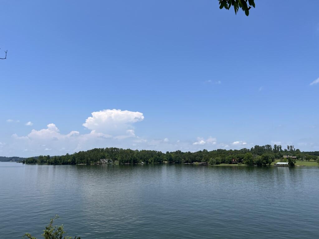
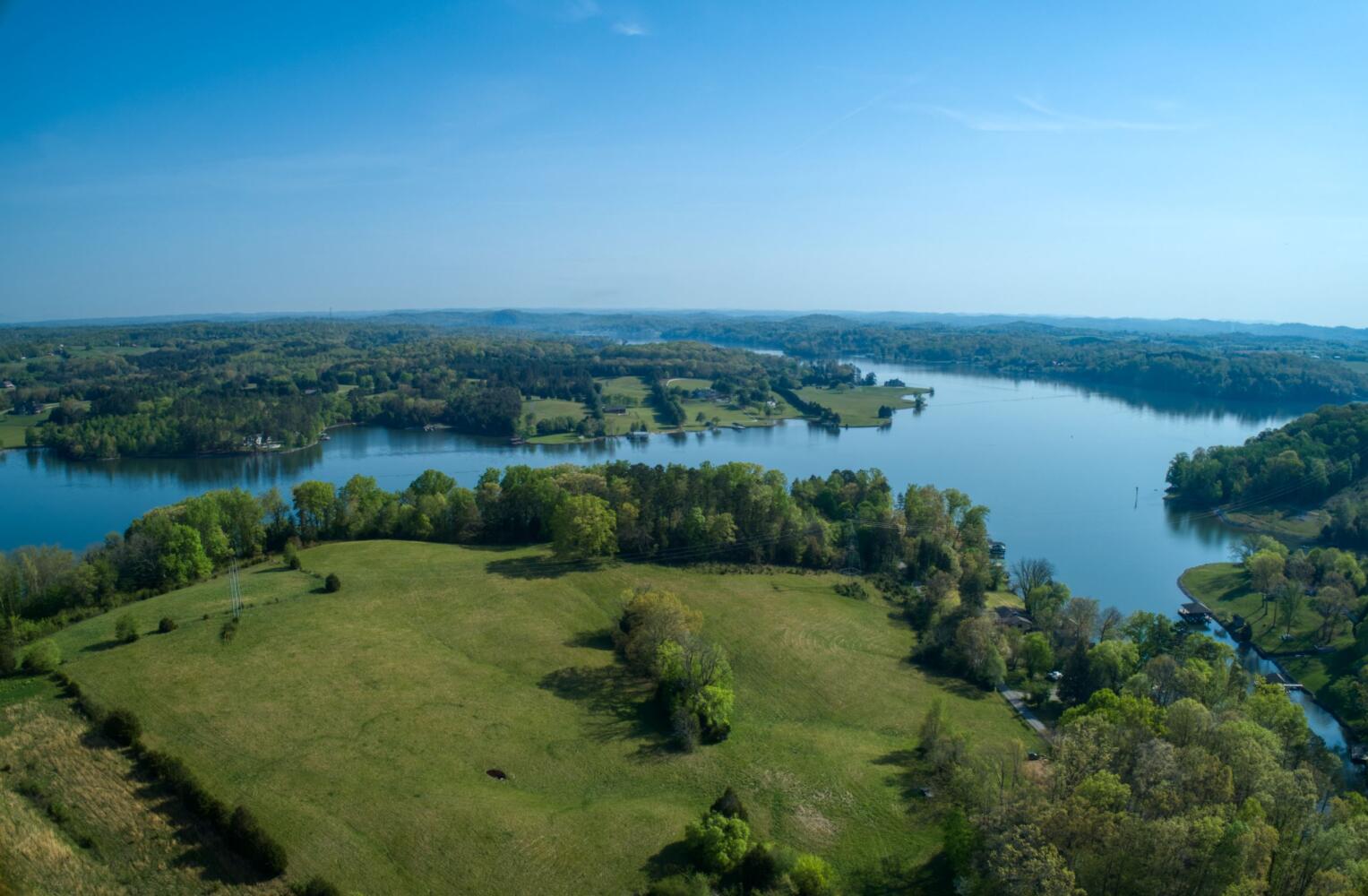
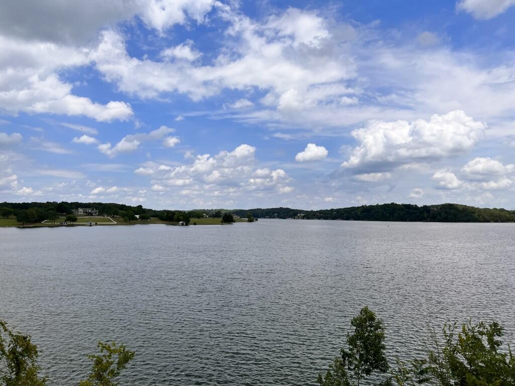
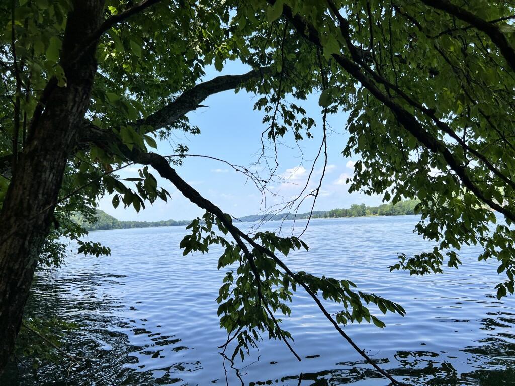
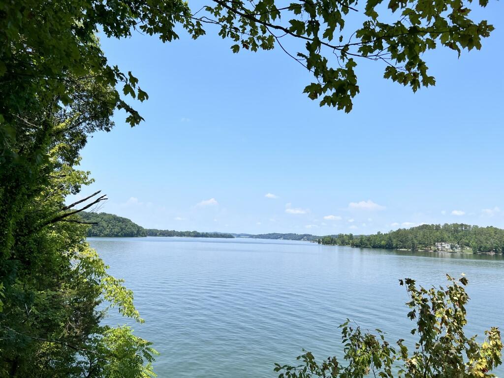
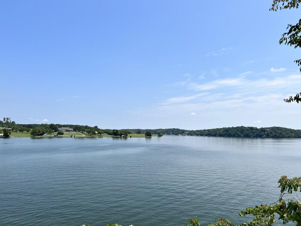
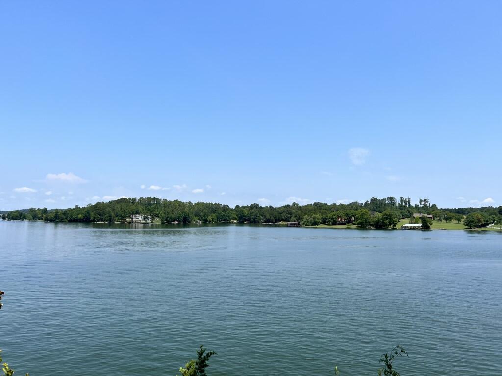
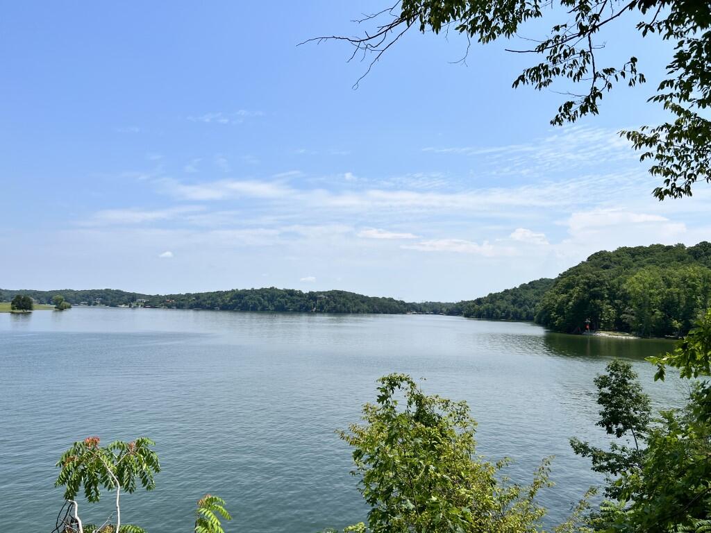
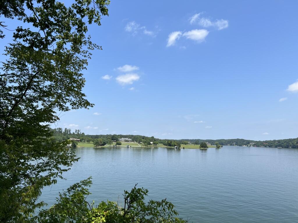
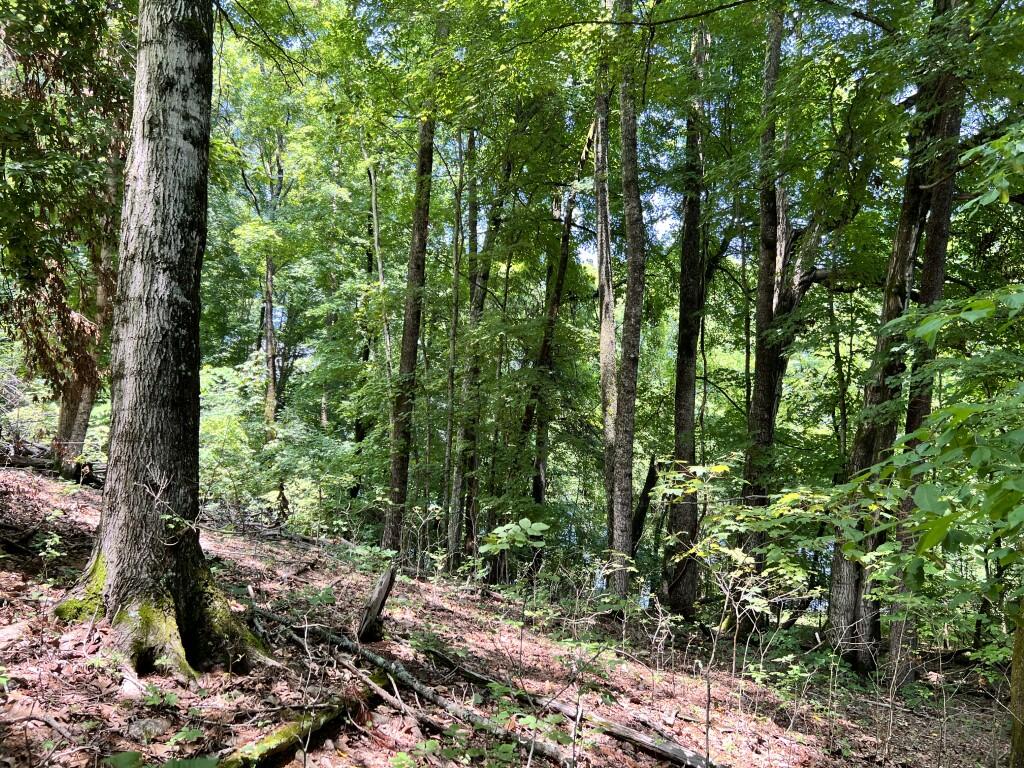
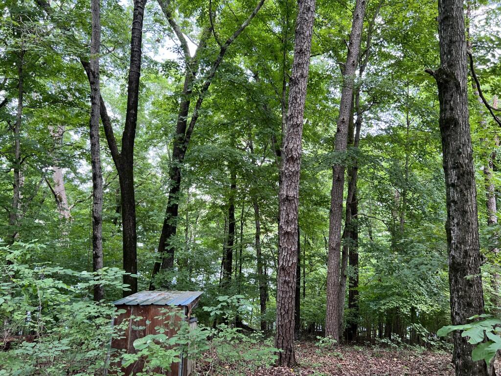
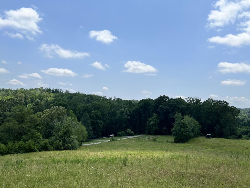
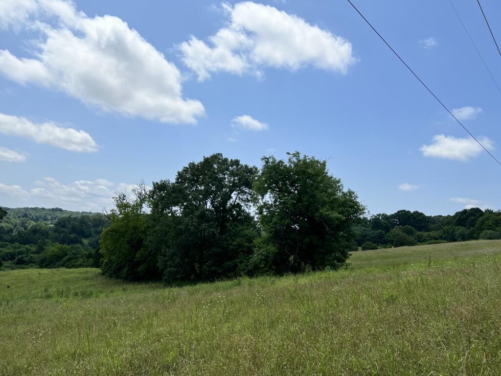
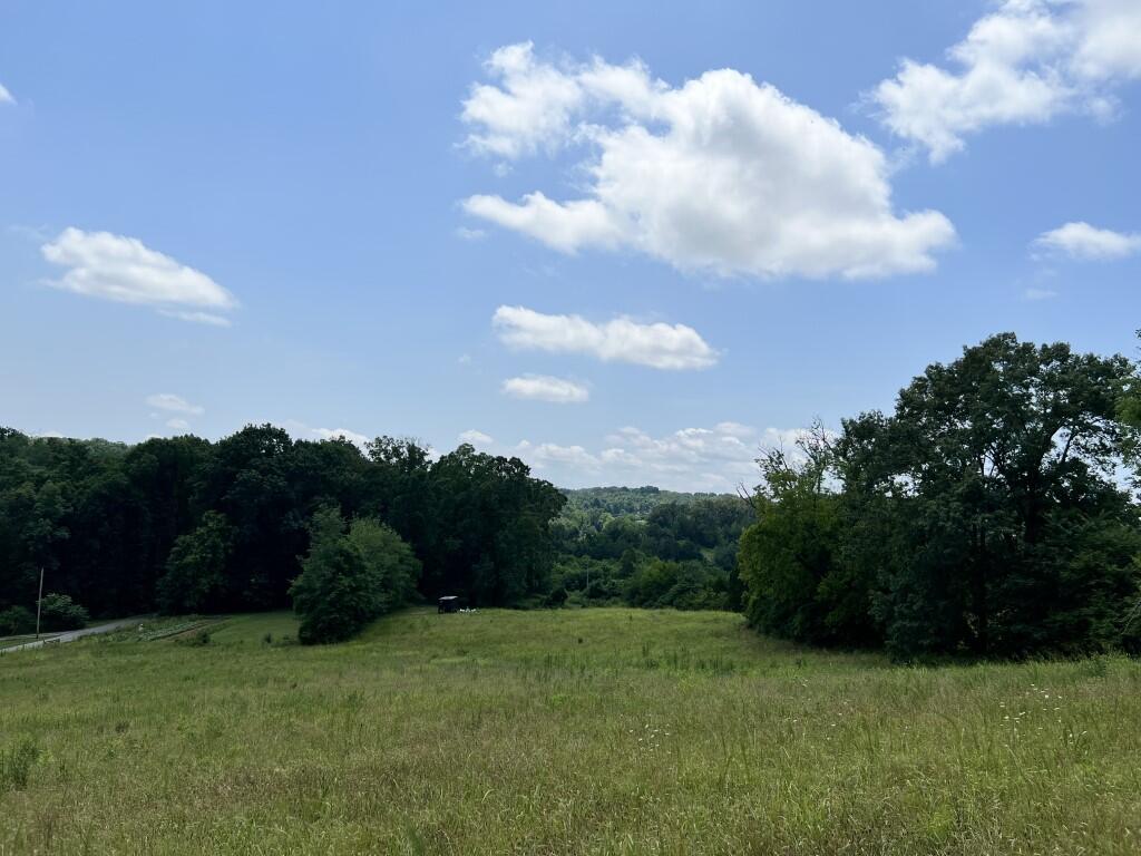
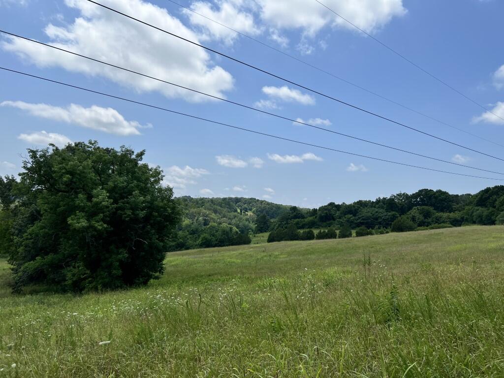
This 5 +/- acre Loudon County, TN waterfront property near Lenoir City features 300 + feet of main channel frontage in Loudon, TN. It combines the peace of a private retreat with the convenience of nearby city amenities. You can build a custom home here and enjoy immediate access to the water every day. The tract offers a rare blend of quiet seclusion and direct water access.
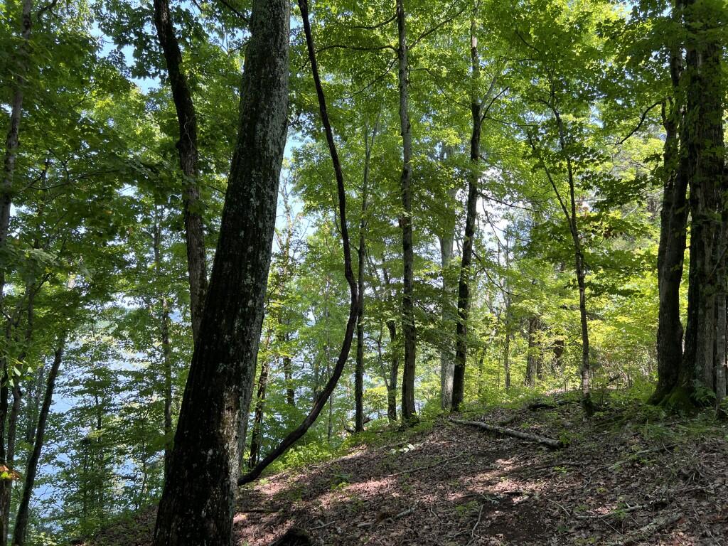
The shoreline provides year-round deep water access to Fort Loudoun Lake for all your favorite water recreation activities. You can launch a boat, kayak, or canoe directly from your own property to explore the water. The wide 180-degree views over the lake offer a constant backdrop for daily living. From your dock, you can boat just 3.5 +/- miles to Fort Loudoun Dam, Tellico Lake, and local marinas.
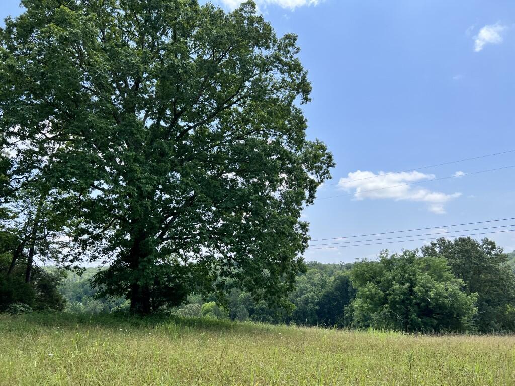
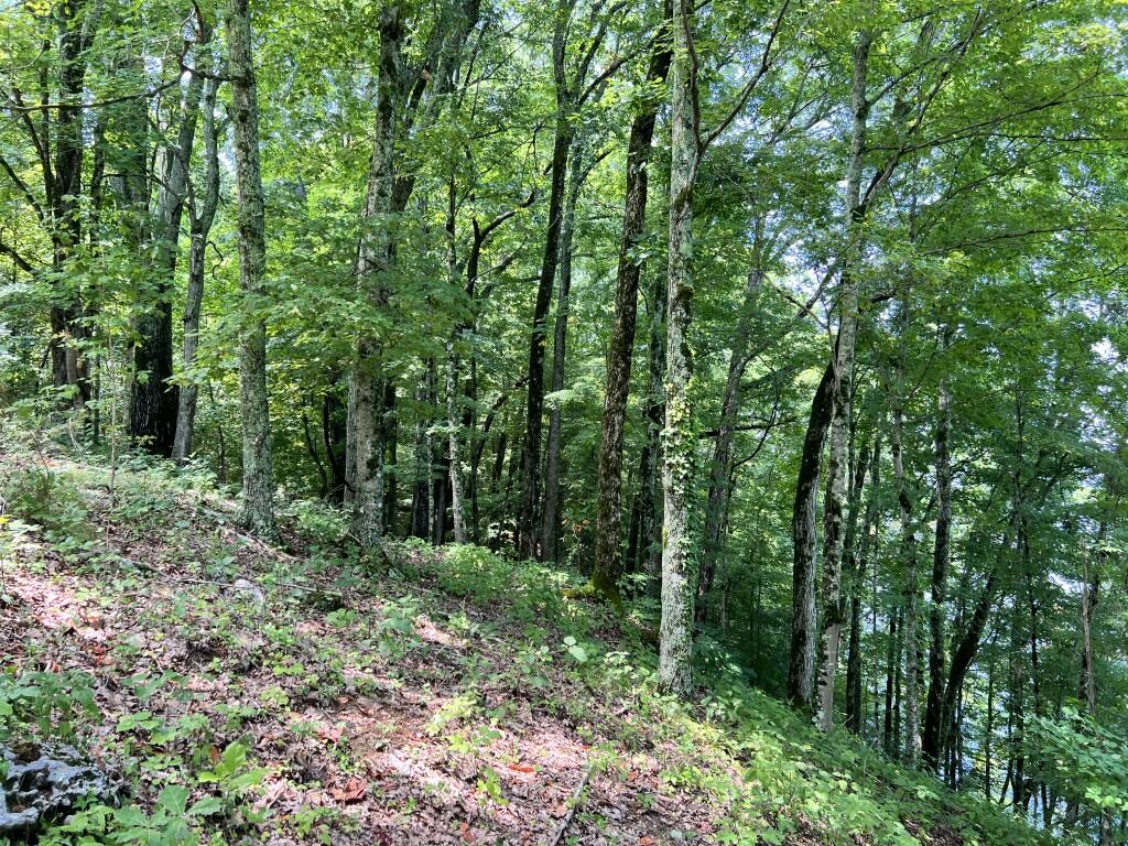
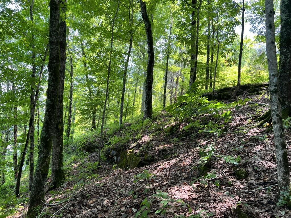
This unrestricted land has no HOA, allowing for highly flexible use of the acreage. Multiple building sites are spread across the property, making it ideal for a family estate or residential development. Public utilities are already available through LCUB to simplify your building process. You also have 150 +/- feet of county road frontage along Donaldson Light Lane for easy entry.
The property balances quiet seclusion with quick access to major regional destinations. You are located just 10 minutes from town and 20 minutes from Turkey Creek in Knoxville. McGhee Tyson Airport and Maryville are both an easy 25-minute drive away. For weekend day trips, the Great Smoky Mountains National Park is in close proximity for outdoor adventures.
Major metro areas like Atlanta and Nashville are less than three hours away. This makes the property a perfect choice for a weekend getaway or a permanent residence. Nearby docks, public parks, and local restaurants are easily accessible by land or water. The acreage also supports recreational activities like camping, sailing, and hunting for whitetail deer and turkey.
This waterfront listing represents a rare opportunity to own unrestricted acreage on the lake. Whether you want to build a family estate or develop residential lots, this land fits the bill. Contact us today to schedule your private tour of this property.
Parcel #/ID
036 007.01
Property Highlights
| Hunting, Fishing & Recreation | Lake/Pond, Fishing, Turkey, Whitetail Deer, River/Creek/Stream, Boating, Camping, Sailing, Canoeing/Kayaking |
| Homes, Cabins, Acreages & Lots | Building Site/Lot, Waterfront, Vacant Land |
- Land id Map Link
- 300 + feet of dockable main channel frontage on Fort Loudoun Lake
- 150 +/- feet of county road frontage along Donaldson Light Lane
- Unrestricted land with no HOA, allowing for flexible use
- Multiple building sites ideal for a family estate or residential development
- Year-round deep water access for boating and water recreation
- Stunning 180 degree views over the lake
- Conveniently located just 10 minutes from Lenoir City and 20 minutes from Turkey Creek in Knoxville
- Only 25 minutes to Maryville and Knoxville McGhee Tyson Airport
- Close proximity to Great Smoky Mountains National Park for outdoor adventures
- Just 3.5 +/- boating miles to Fort Loudoun Dam, Tellico Lake, and local marinas
- Public utilities available through Lenoir City Utilities Board (LCUB)
- Easy access to nearby docks, parks, and local restaurants
- Less than 3 hours to Atlanta and Nashville
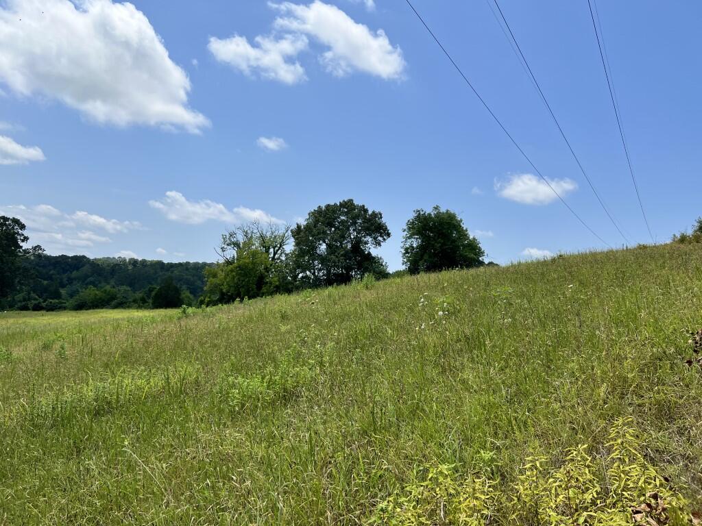
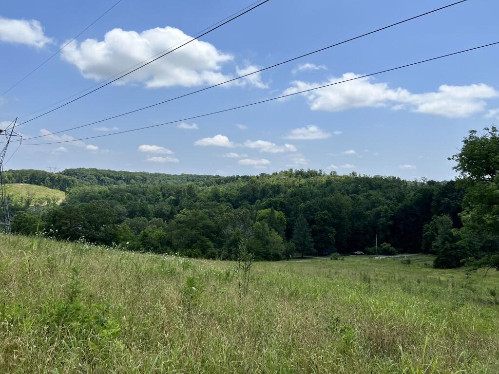
- TVA Powerline Easement
Zoning:
A-1
Future Land Use:
Residential
Listing ID#:
3318058
Location
35.758400081851 , -84.195577279019
From Lenoir City head southeast on US Highway 321 towards Maryville. Drive 3.8 miles and turn left onto Antioch Church Road E and drive 1.4 miles. Turn left onto Donaldson Light Lane. Property starts approximately 830 feet down Donaldson Light Lane on the left hand side of the road.

Land by State
Land Professionals by State
- Alabama
- Arizona
- Arkansas
- California
- Colorado
- Delaware
- Florida
- Georgia
- Idaho
- Illinois
- Indiana
- Iowa
- Kansas
- Kentucky
- Louisiana
- Maryland
- Minnesota
- Mississippi
- Missouri
- Nebraska
- Nevada
- New Mexico
- North Carolina
- North Dakota
- Ohio
- Oklahoma
- Oregon
- Pennsylvania
- South Carolina
- South Dakota
- Tennessee
- Texas
- Utah
- Vermont
- Virginia
- Washington
- West Virginia
- Wisconsin
- Wyoming
- Alabama
- Arizona
- Arkansas
- California
- Colorado
- Delaware
- District of Columbia
- Florida
- Georgia
- Idaho
- Illinois
- Indiana
- Iowa
- Kansas
- Kentucky
- Louisiana
- Maryland
- Massachusetts
- Michigan
- Minnesota
- Mississippi
- Missouri
- Montana
- Nebraska
- Nevada
- New Jersey
- New Mexico
- New York
- North Carolina
- North Dakota
- Ohio
- Oklahoma
- Oregon
- Pennsylvania
- South Carolina
- South Dakota
- Tennessee
- Texas
- Utah
- Vermont
- Virginia
- Washington
- West Virginia
- Wisconsin
- Wyoming