Click below to agree to the terms of use.
By clicking the I accept button at the bottom of this page, or by otherwise using the National Land Realty, LLC (“NLR”) website and accessing any content, you agree to be bound by the following terms of use, as updated from time to time (“Terms of Use”).
- Disclaimer about Information Provided. Maps available through this website contain representations of land features compiled from aerial photography, remote sensing technology, recorded deeds and plats, other public records and public data. Users of these maps are hereby notified that the aforementioned public primary information sources should be consulted for verification of the information contained in these maps. These maps are NOT A LAND SURVEY. National Land Realty, LLC, does not warrant the accuracy, reliability or timeliness of any information on this website, including, without limitation, any information relating to any prior sales of any real property, specifically including the purchase price. Portions of such information may be incorrect or not current. Any personal entity that relies on any information obtained from this website does so at his or her own risk. National Land Realty, LLC, hereby disclaims any and all liability arising from the information provided on this website. Any person or entity relying on information from this site does so at their own risk.
- Prohibited Uses. BY USING THE NLR WEBSITE, YOU AGREE NOT TO:
- reproduce, modify, distribute, display or otherwise provide access to, create derivative works from, decompile, disassemble, or reverse engineer any portion of the website or the services provided by the website, except as explicitly permitted under these Terms of Use;
- reproduce, publicly display, or otherwise make accessible on or through any other website, application, or service any reviews, ratings, and/or profile information about real estate, lending, or other professionals, underlying images of or information about real estate listings, or other data or content available through the NLR website, except as explicitly permitted by NLR;
- conduct automated queries (including screen and database scraping, spiders, robots, crawlers, bypassing “captcha” or similar precautions, and any other automated activity with the purpose of obtaining information from the NLR website) on the NLR website;
- Indemnification. You agree to indemnify, defend, and hold harmless NLR, its affiliates, and their respective directors, officers, employees, and agents from any and all claims and demands made by any third party due to or arising out of: (a) your access to or use of the NLR website; (b) your breach of these Terms of Use; (c) your violation of any law or the rights of a third party; (d) any dispute or issue between you and any third party; and (e) your willful misconduct. NLR reserves the right, at its own expense, to assume the exclusive defense and control of any matter otherwise subject to indemnification by you, and in that case, you agree to cooperate with NLR’s defense of that claim.
- No Warranties. THE SERVICES AND INFORMATION PROVIDED ON NLR’S WEBSITE ARE PROVIDED "AS IS," "WITH ALL FAULTS" AND "AS AVAILABLE," AND THE ENTIRE RISK AS TO SATISFACTORY QUALITY, PERFORMANCE, ACCURACY, AND EFFORT IS WITH YOU. TO THE MAXIMUM EXTENT PERMITTED BY APPLICABLE LAW, NLR AND ITS SUPPLIERS MAKE NO REPRESENTATIONS, WARRANTIES OR CONDITIONS, EXPRESS OR IMPLIED. NLR AND ITS SUPPLIERS EXPRESSLY DISCLAIM ANY AND ALL WARRANTIES OR CONDITIONS, EXPRESS, STATUTORY AND IMPLIED. NO ADVICE OR INFORMATION, WHETHER ORAL OR WRITTEN, OBTAINED BY YOU THROUGH THE NLR WEBSITE OR ANY MATERIALS AVAILABLE THROUGH THE NLR WEBSITE WILL CREATE ANY WARRANTY REGARDING ANY NLR ENTITY OR THE NLR WEBSITE THAT IS NOT EXPRESSIVELY STATED IN THESE TERMS OF USE. YOU ASSUME ALL RISK FOR ANY DAMAGE THAT MAY RESULT FROM YOUR USE OF OR ACCESS TO THE NLR WEBSITE, AND ANY MATERIALS, INCLUDING ALL NLR MATERIALS, AVAILABLE THROUGH THE NLR WEBSITE. YOU UNDERSTAND AND AGREE THAT YOUR USE OF THE NLR WEBSITE, AND USE, ACCESS, DOWNLOAD, OR OTHERWISE OBTAINMENT OF MATERIALS THROUGH THE NLR WEBSITE, ARE AT YOUR OWN DISCRETION AND RISK, AND THAT YOU ARE SOLELY RESPONSIBLE FOR ANY DAMAGE TO YOUR PROPERTY (INCLUDING YOUR COMPUTER SYSTEM OR MOBILE DEVICE USED IN CONNECTION WITH THE NLR WEBSITE), OR THE LOSS OF DATA THAT RESULTS FROM THE USE OF THE NLR WEBSITE. SOME JURISDICTIONS MAY PROHIBIT A DISCLAIMER OR WARRANTIES AND YOU MAY HAVE OTHER RIGHTS THAT VARY FROM JURISDICTION TO JURISDICTION.


Why You'll Love It
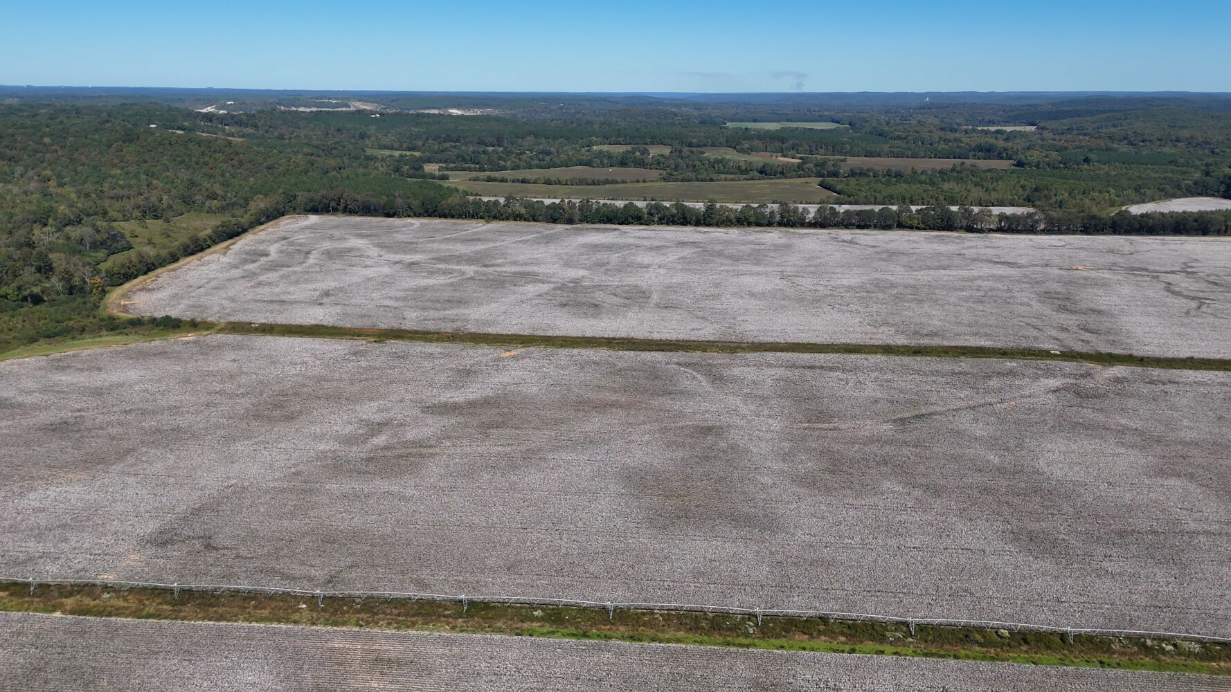
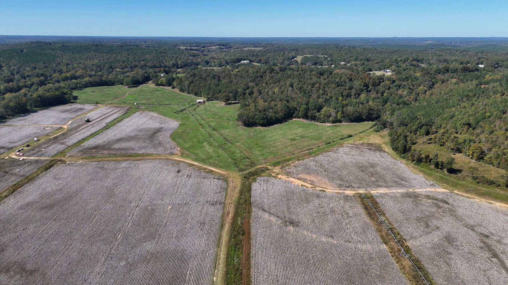
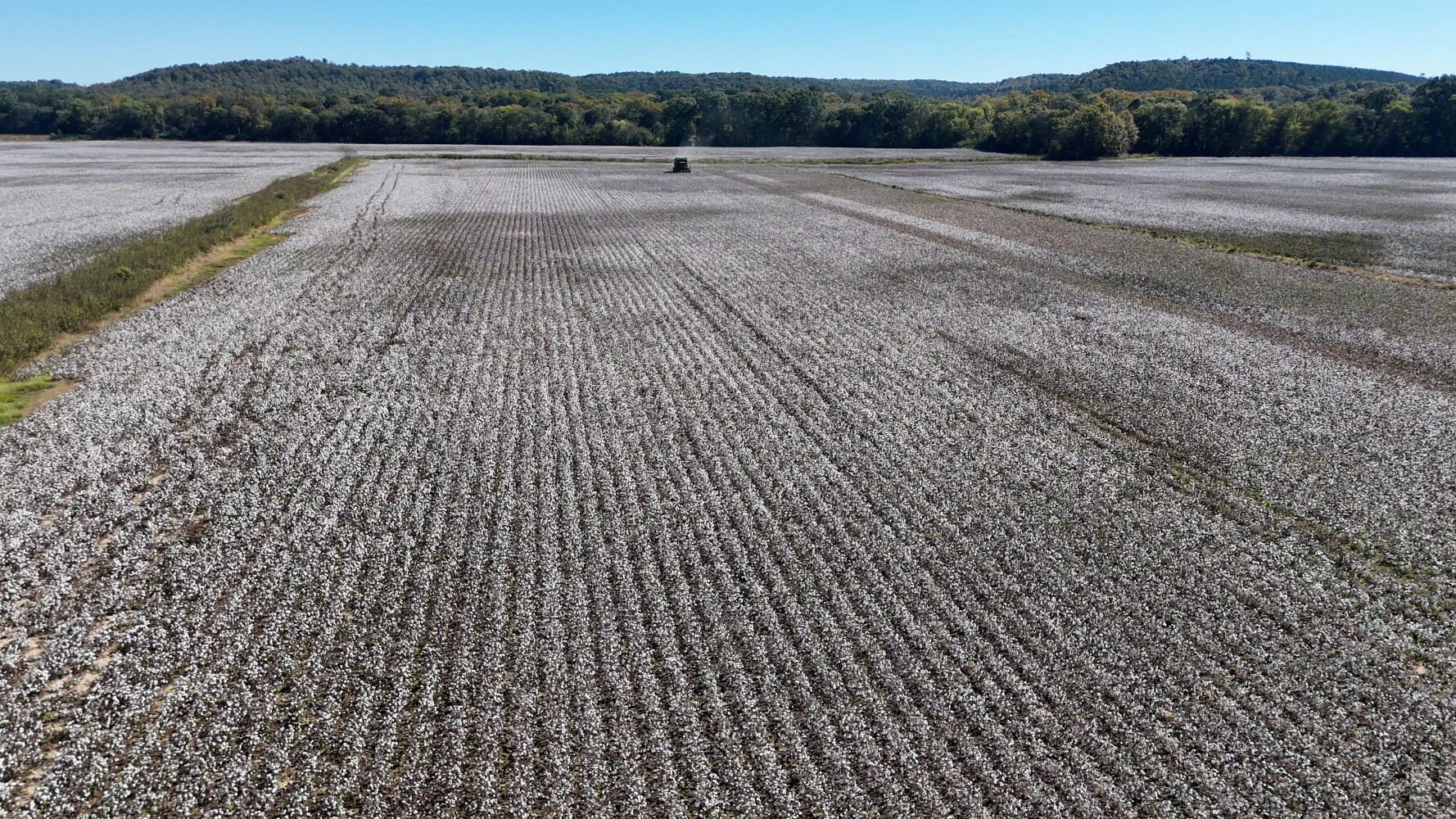
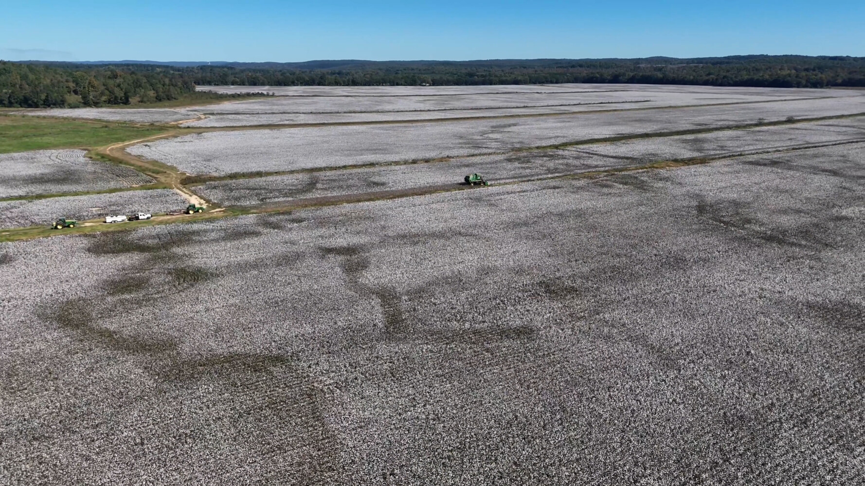
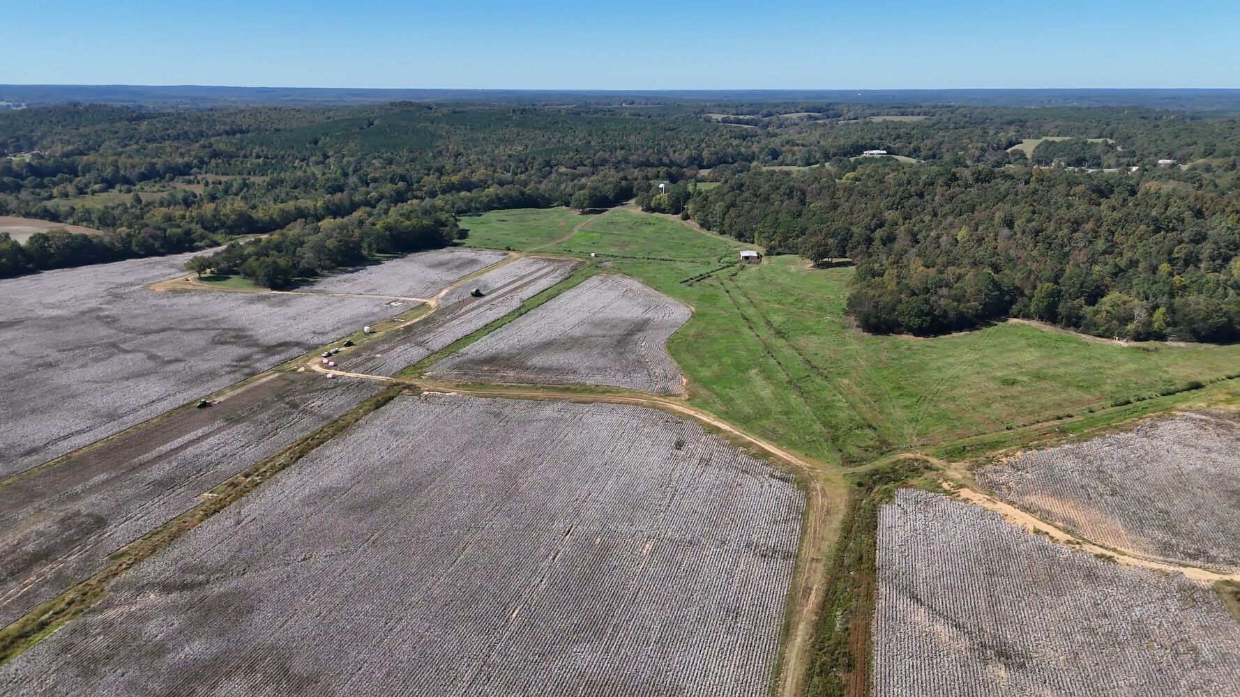
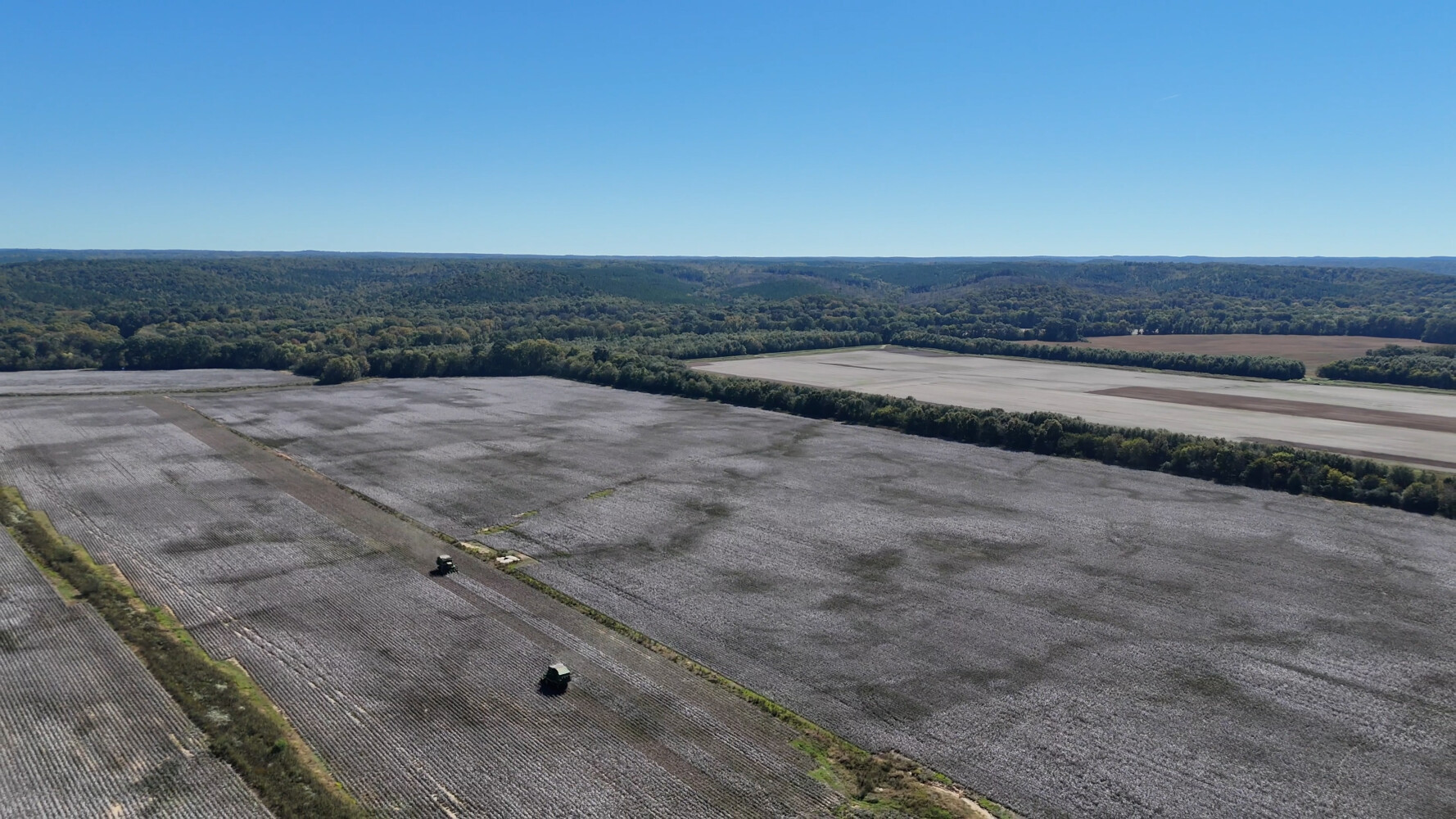
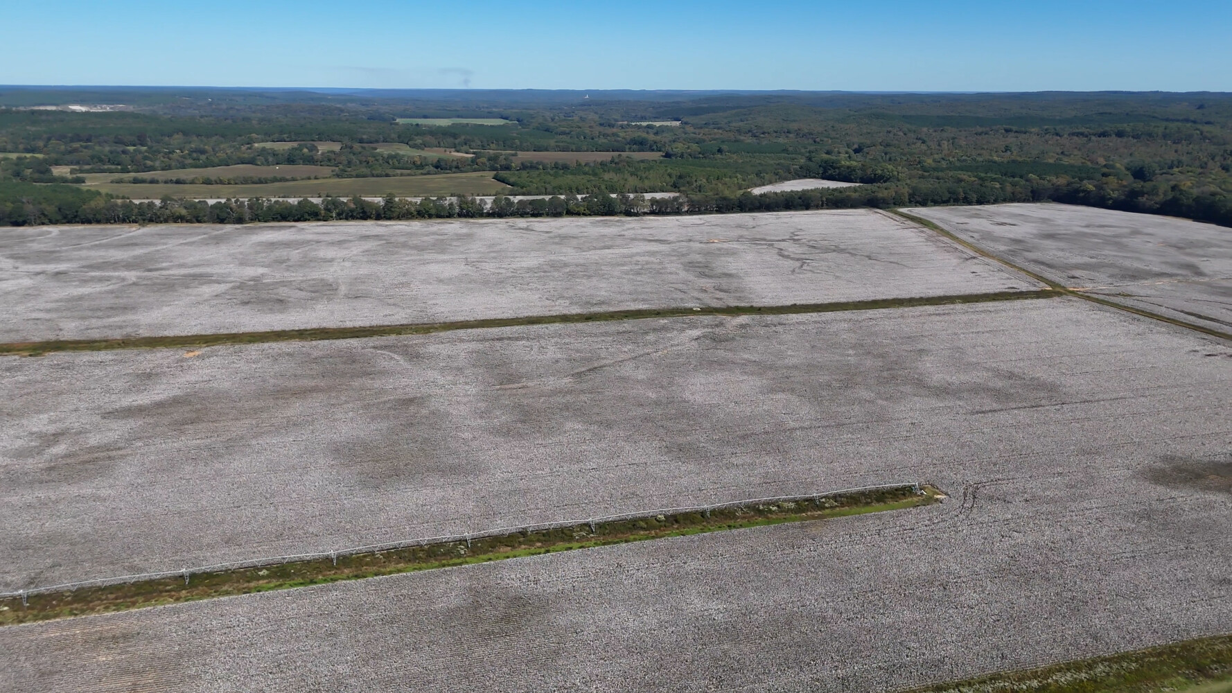
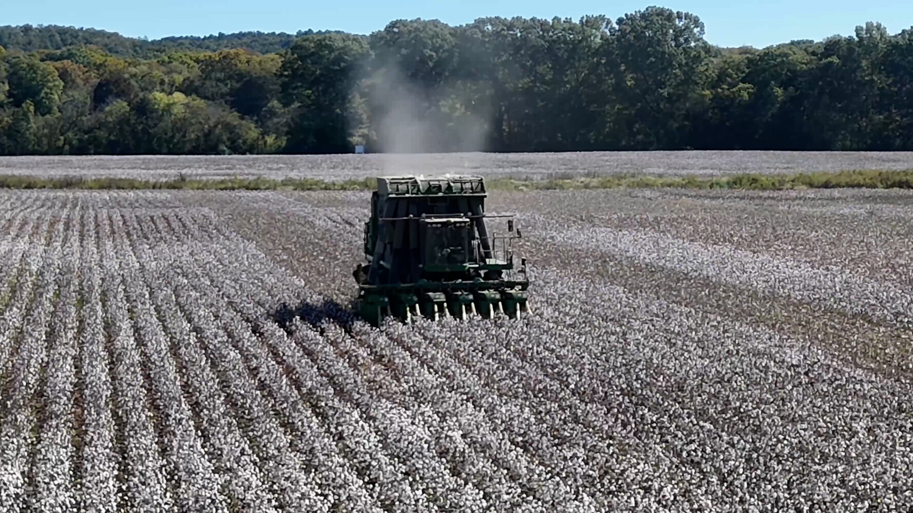
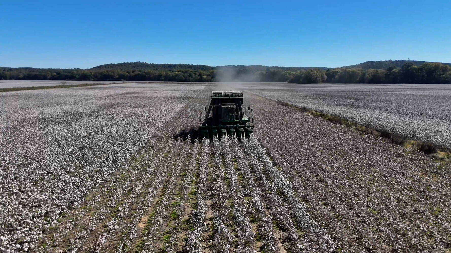
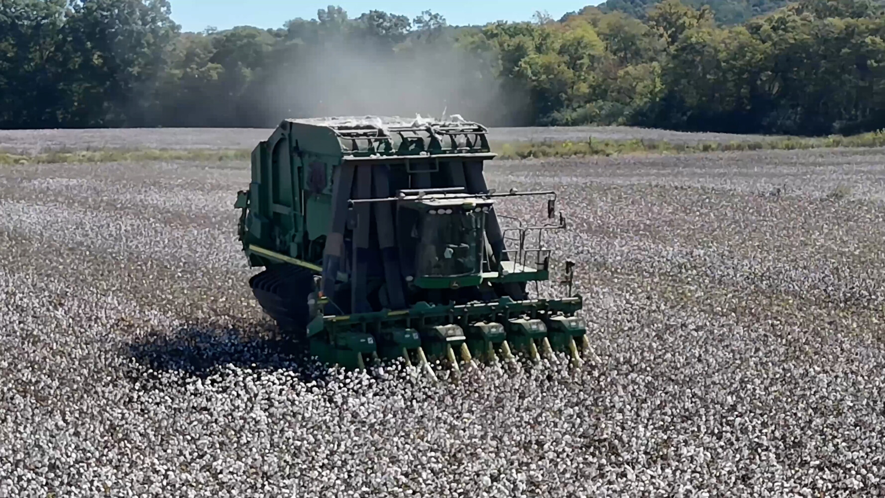
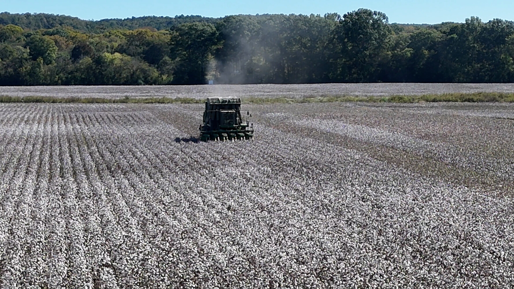
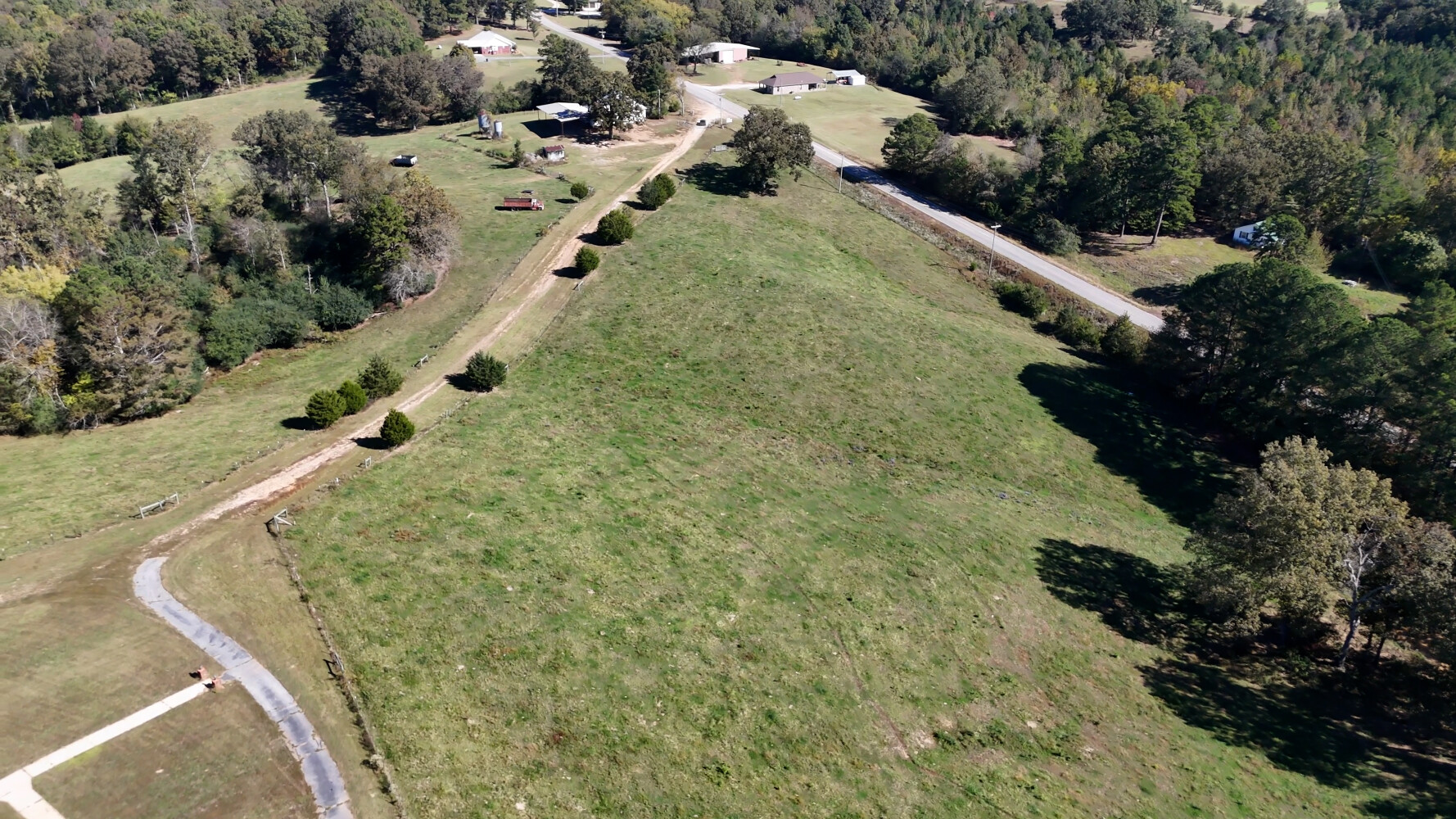
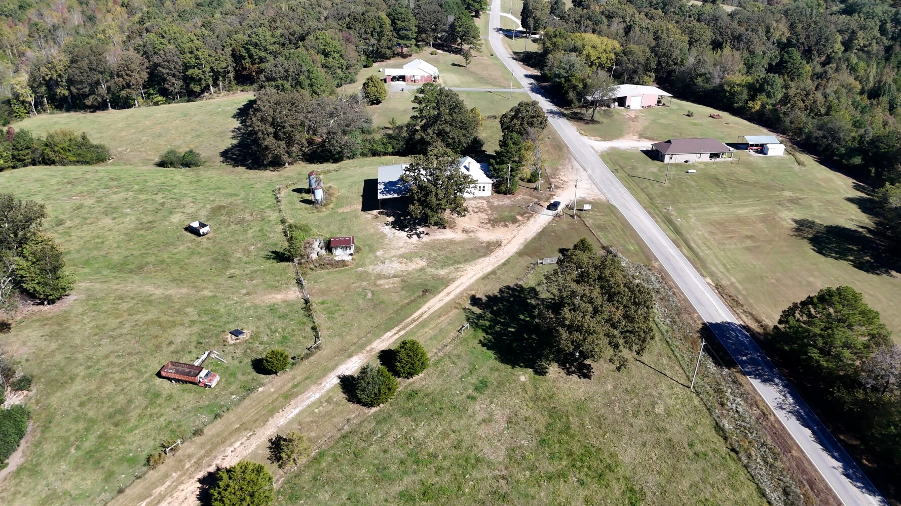
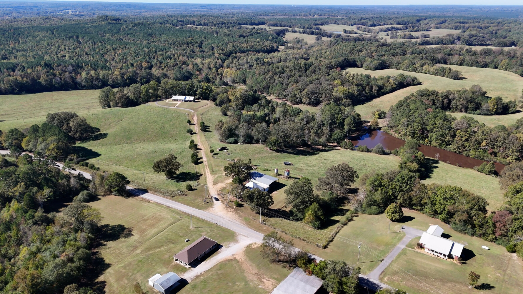
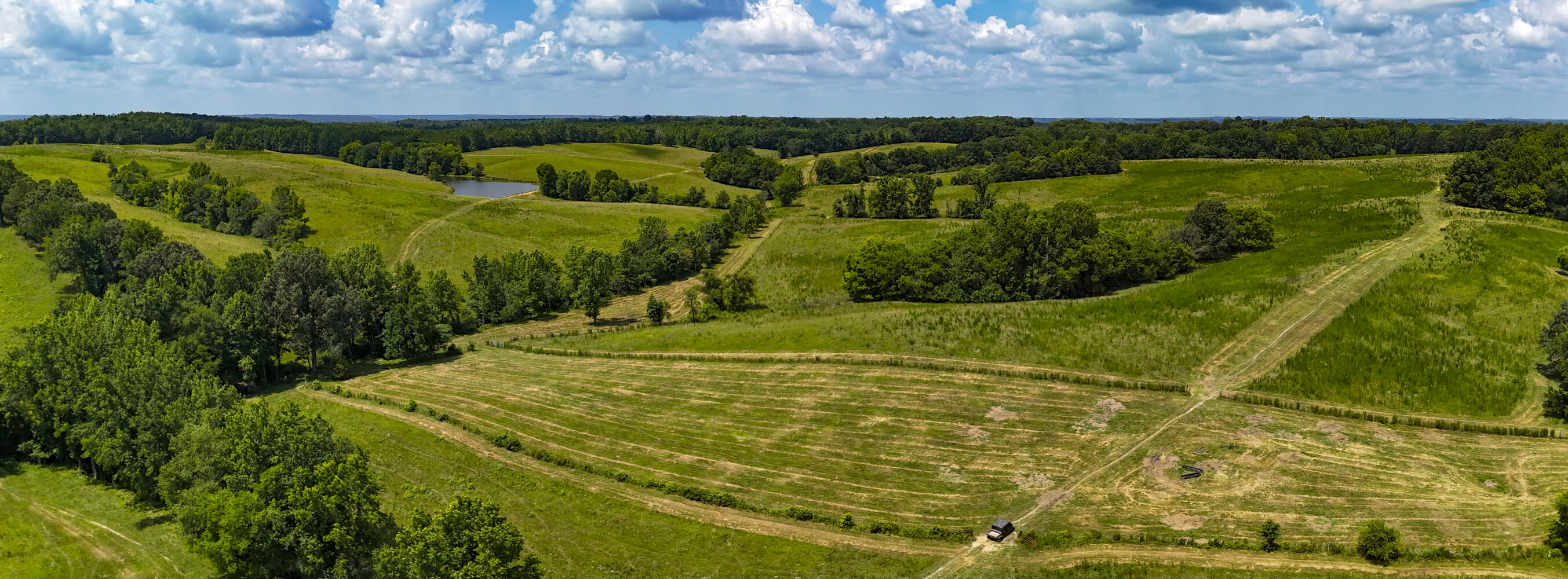
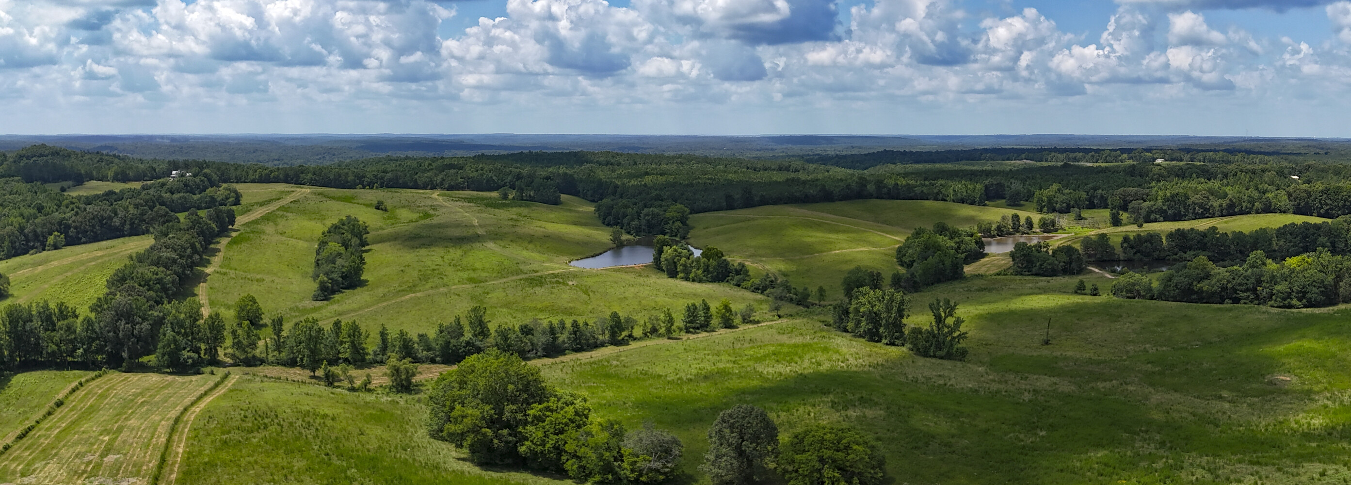
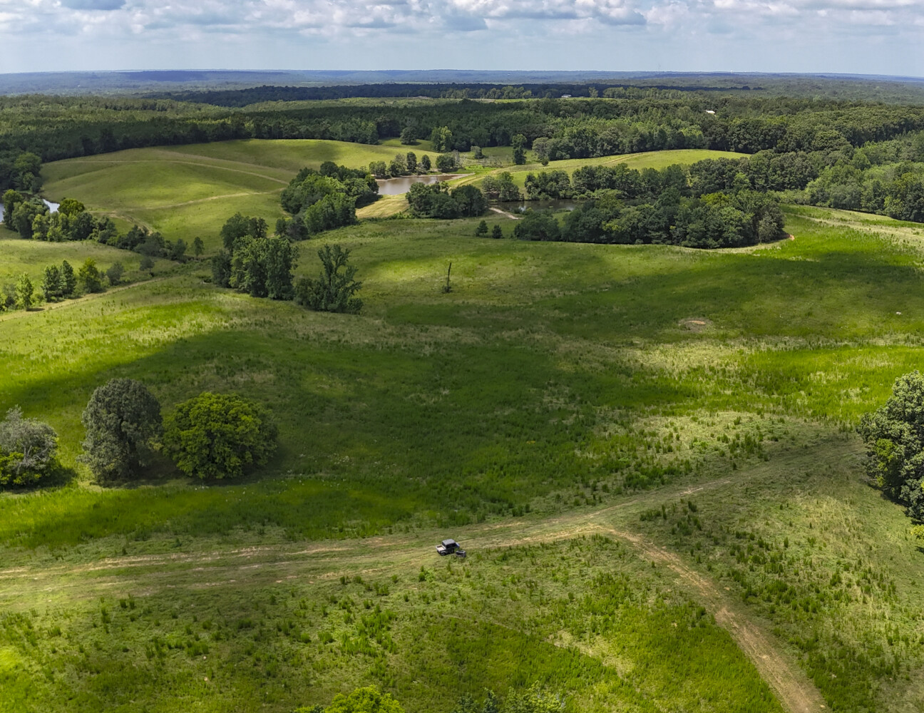
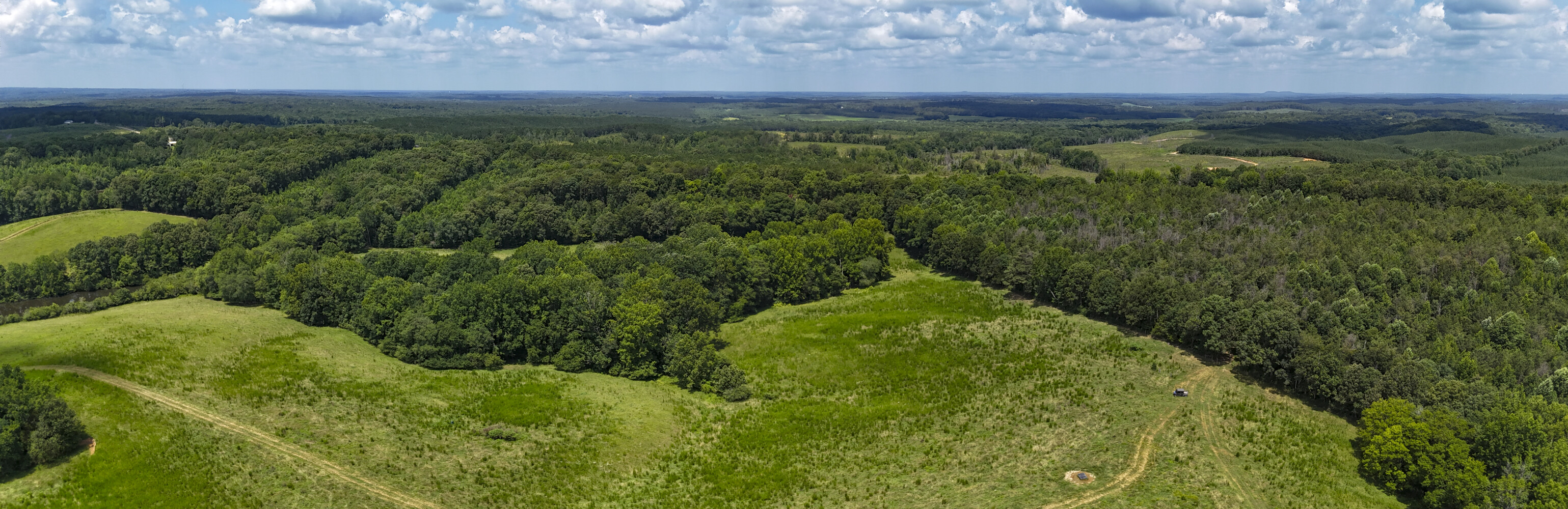
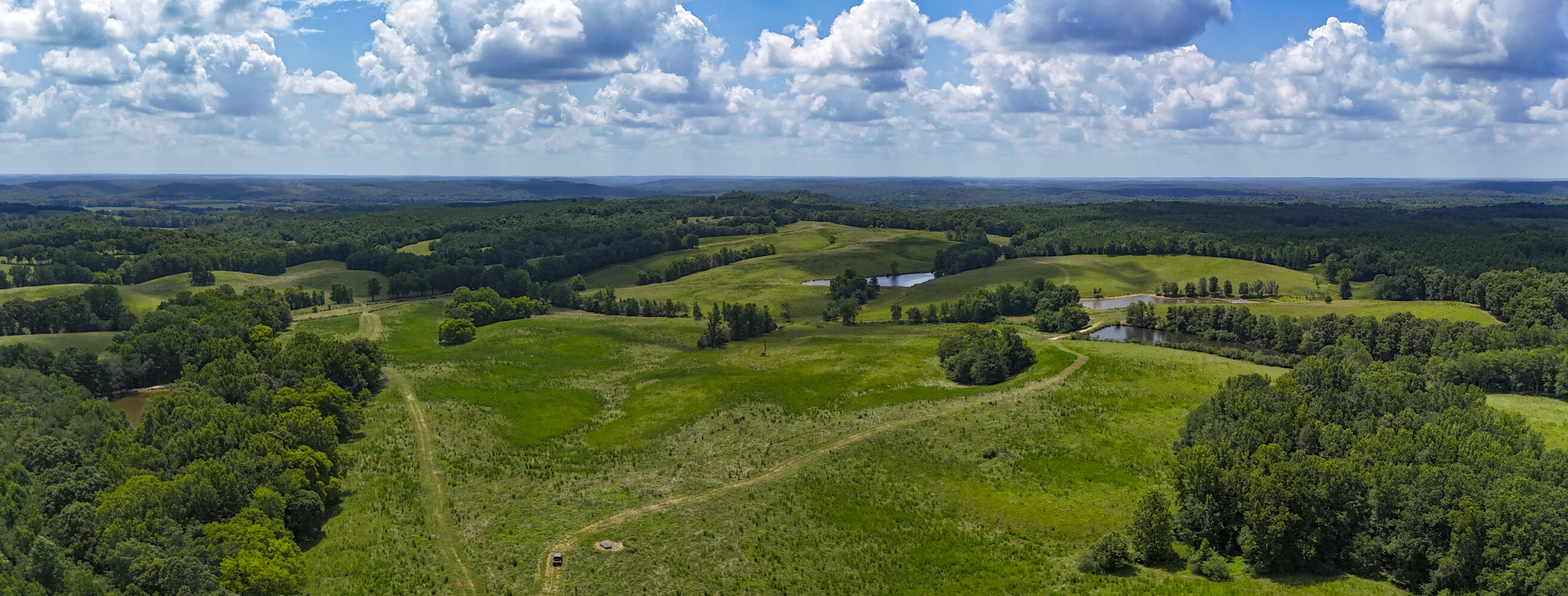
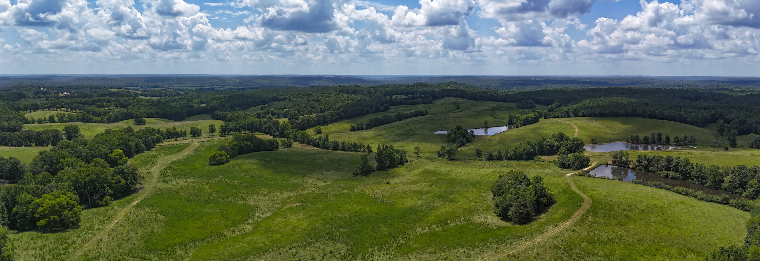
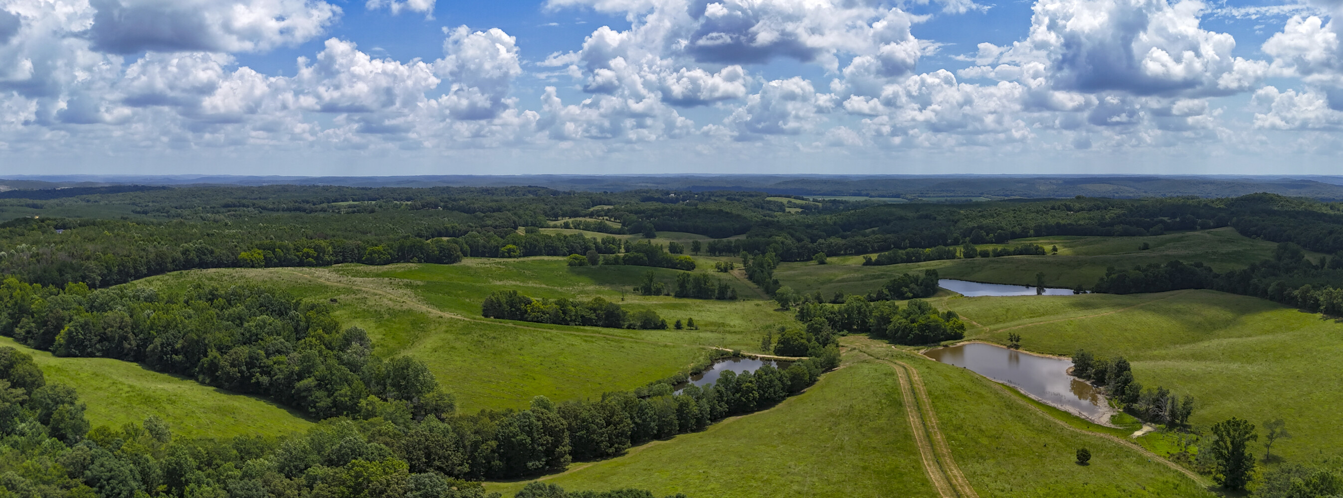
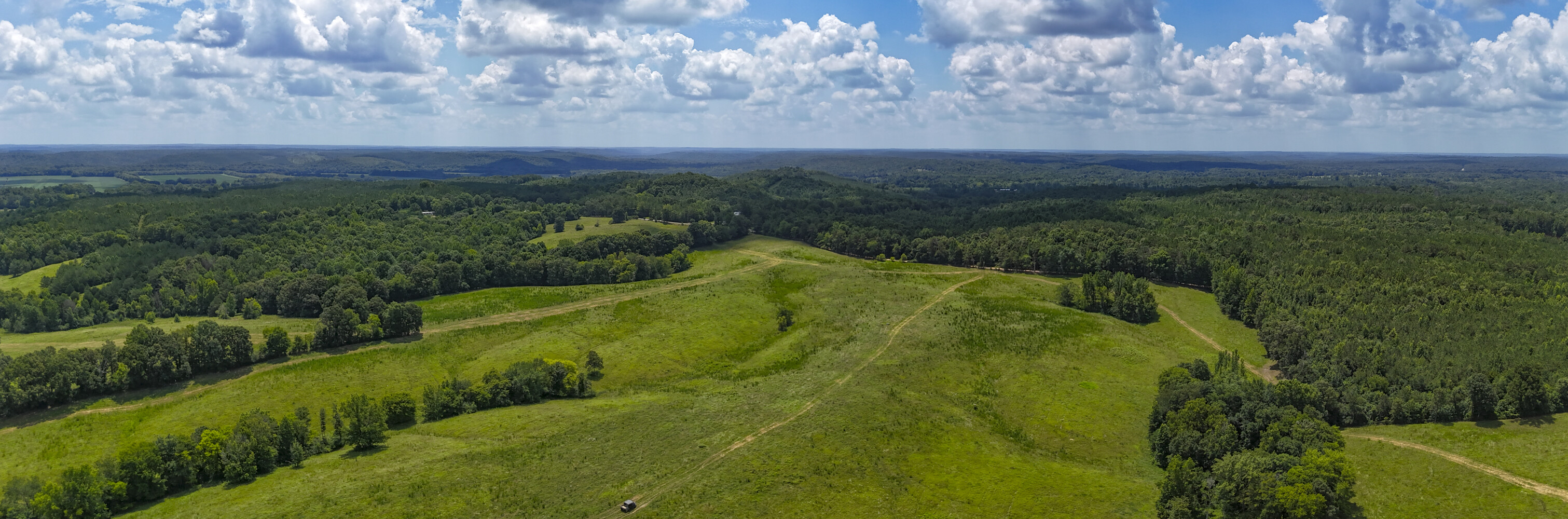
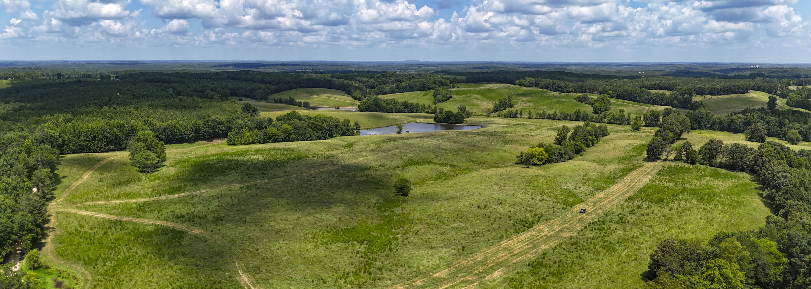
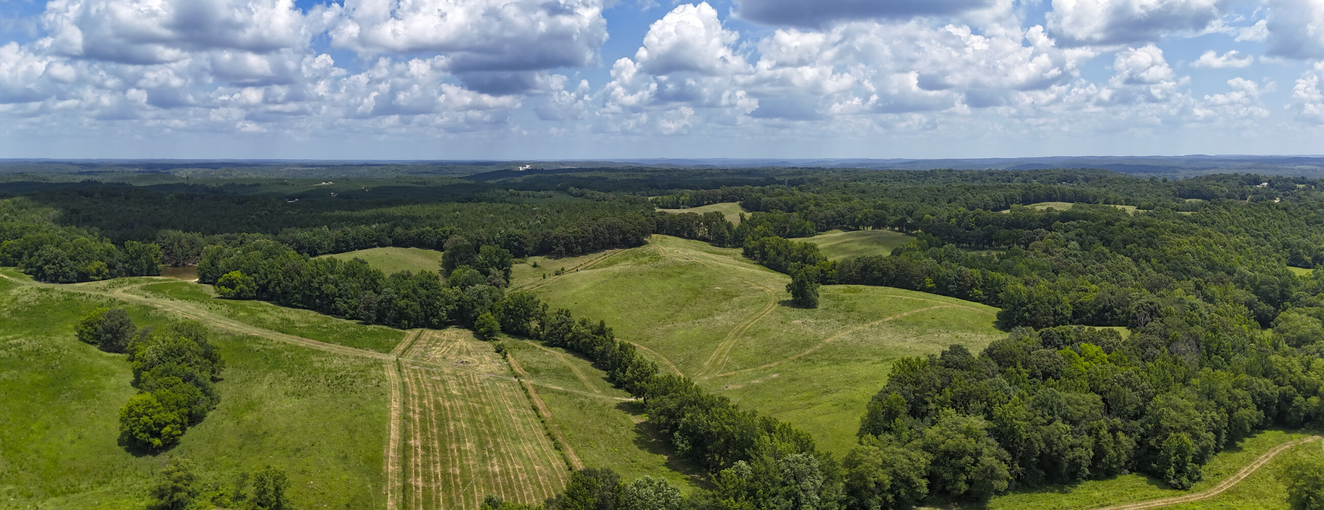
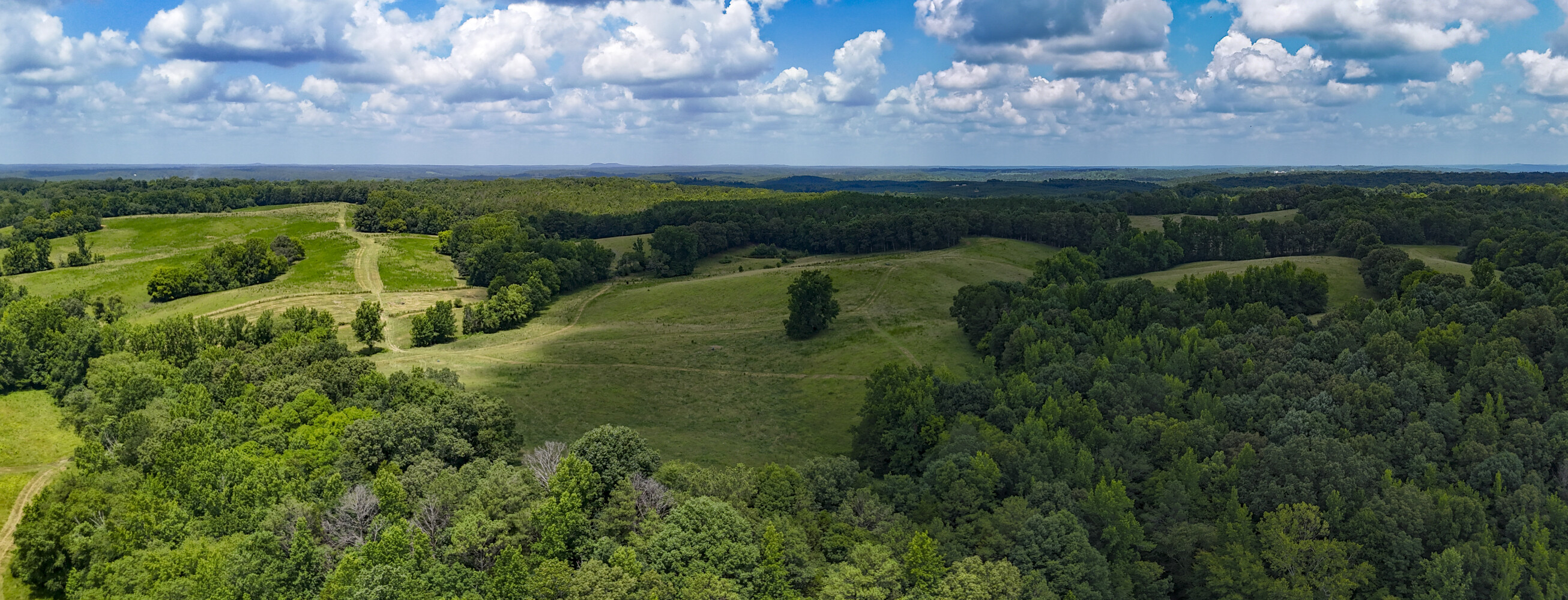
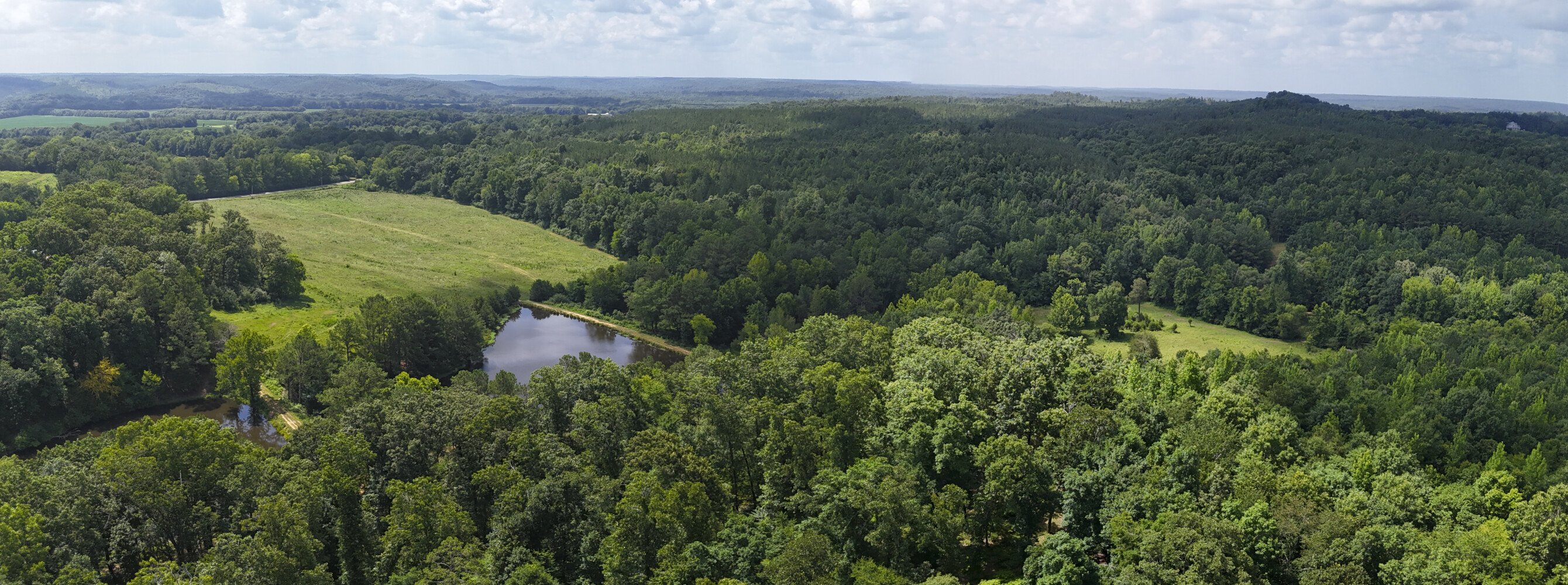
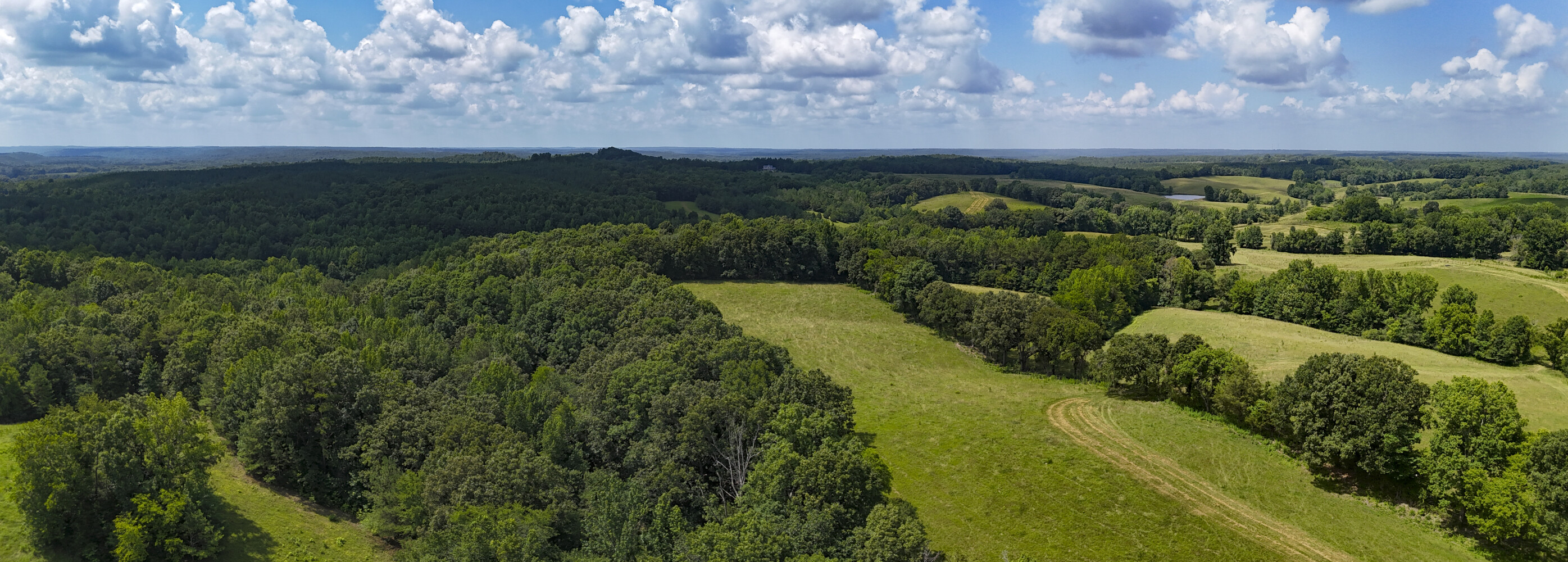
National Land Realty and Fay Ranches are proud to present a rare mineral investment opportunity straddling Allsboro Road along the Mississippi and Alabama state line with beautiful rolling topography. This unique property offers wide open acreage with proven limestone and gravel potential, giving buyers both agricultural freedom and significant mineral value. The land combines rolling pasture, timber pockets, fertile irrigated farmland, and easy access, making it ideal for someone interested in taking advantage of the highly sought after limestone resource, farming, cattle ranching, recreation, or long-term investment.
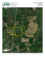
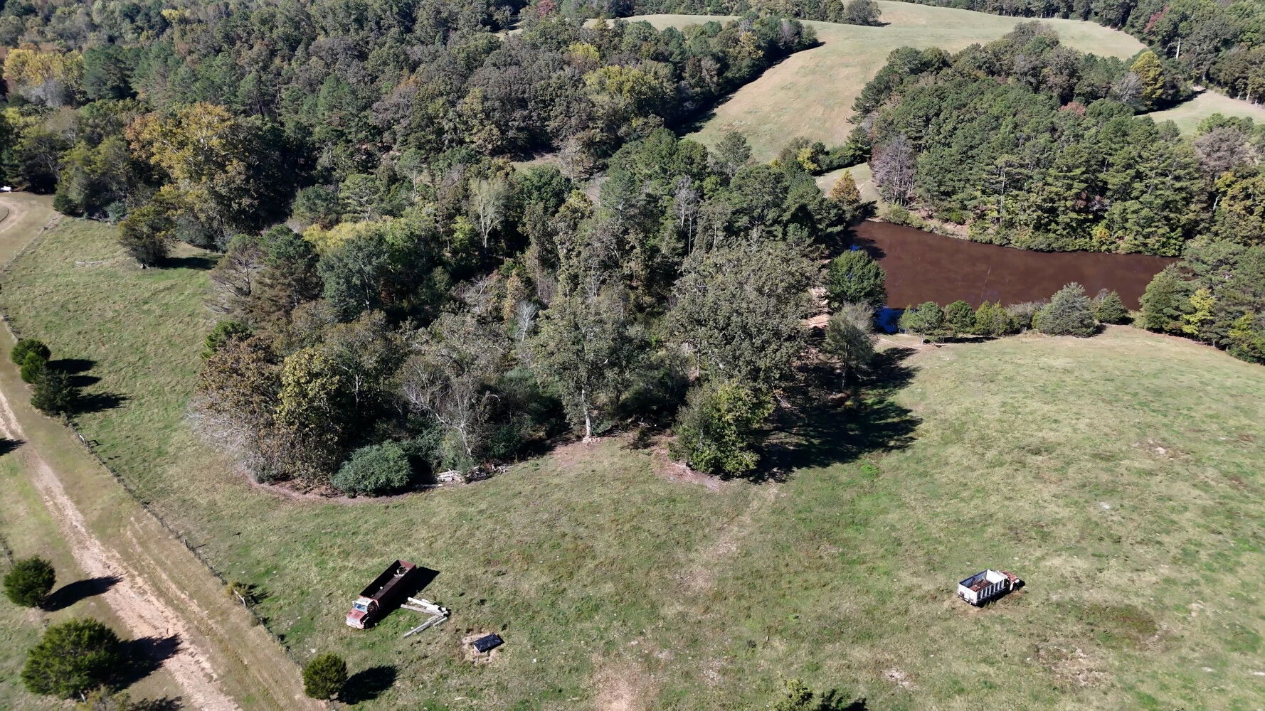
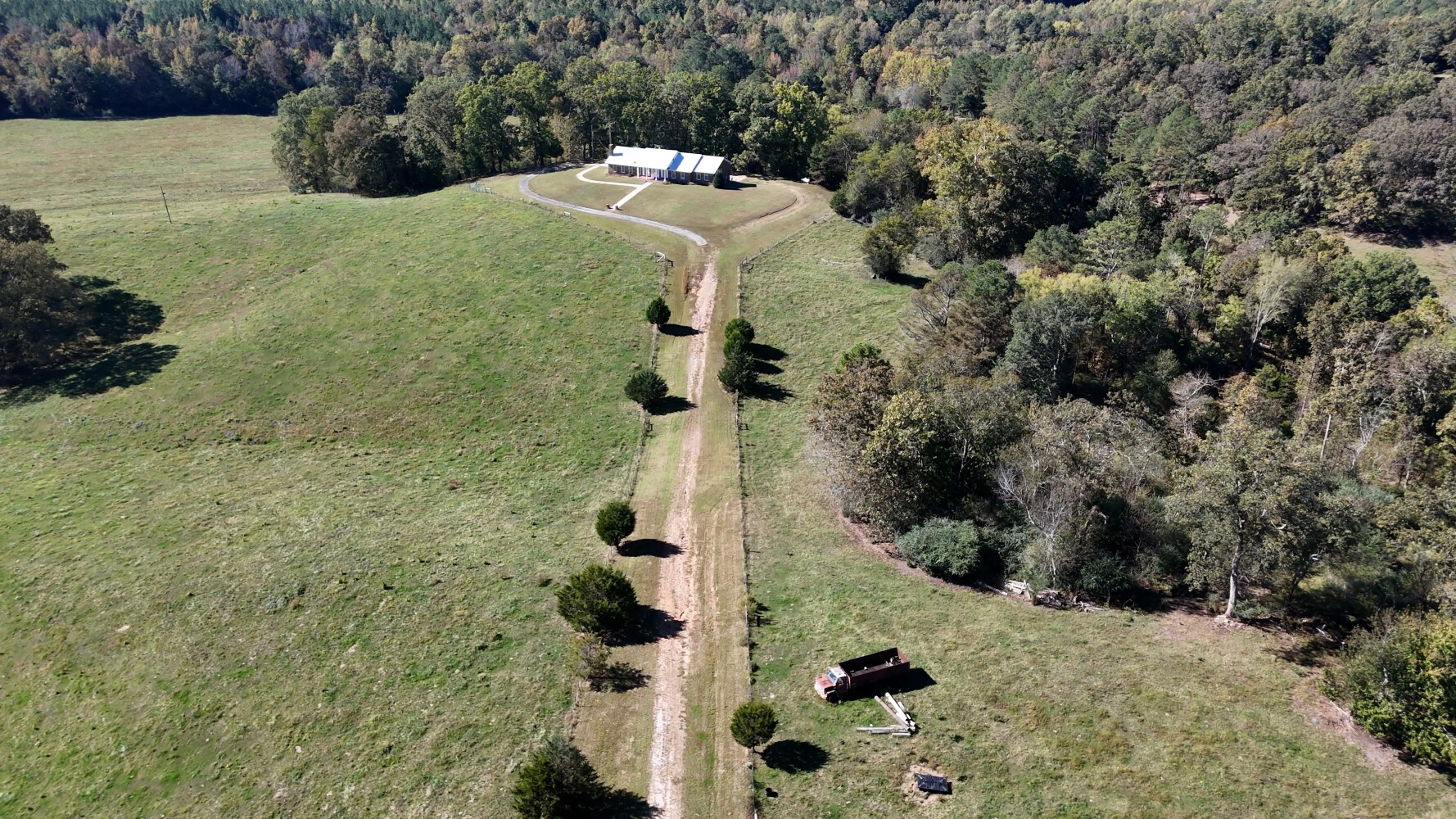
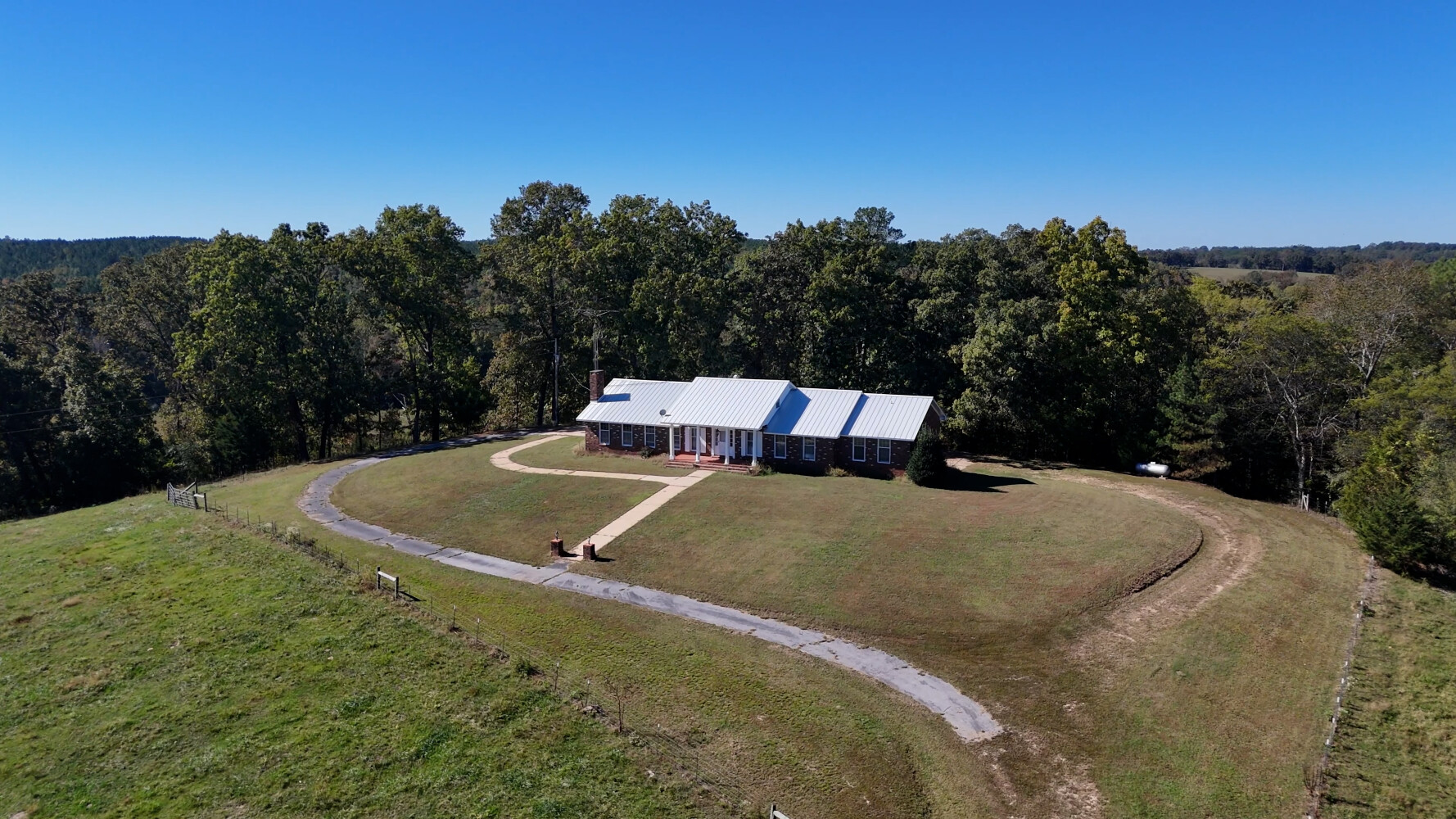
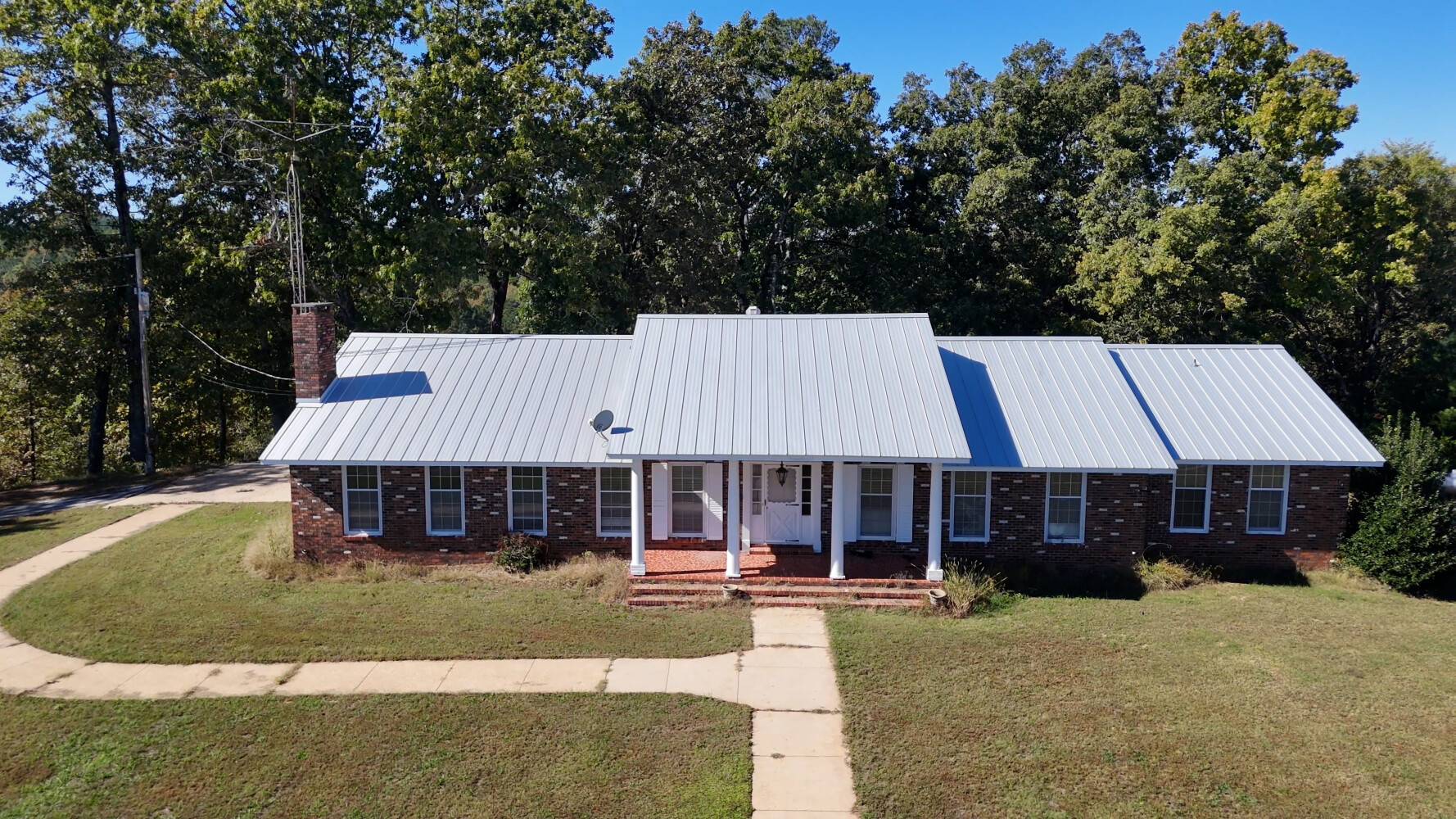
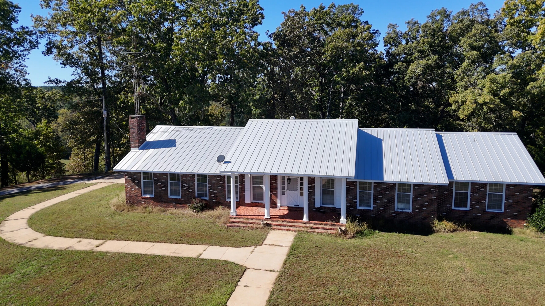
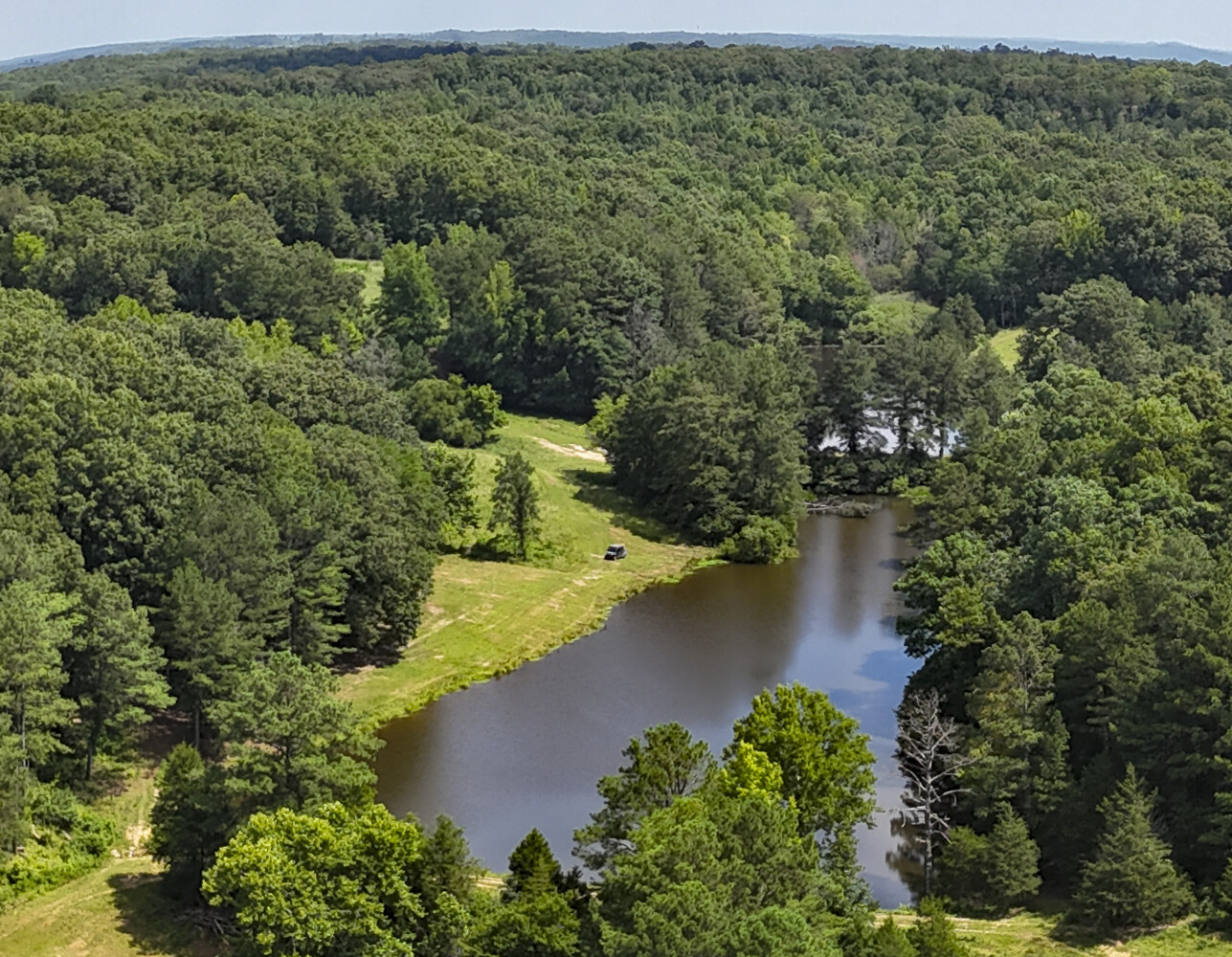
Approximately 1,063 acres m/l are located in Alabama, contiguous with approximately 283 acres located in Mississippi. A modest brick house located on the property can be used as a permanent home, weekend retreat, or conversion to office space. Thirteen spring-fed ponds provide ample water source for livestock purposes or utilize the lay of the land to form an approximately 150+/- acre lake for rural-residential development opportunities.
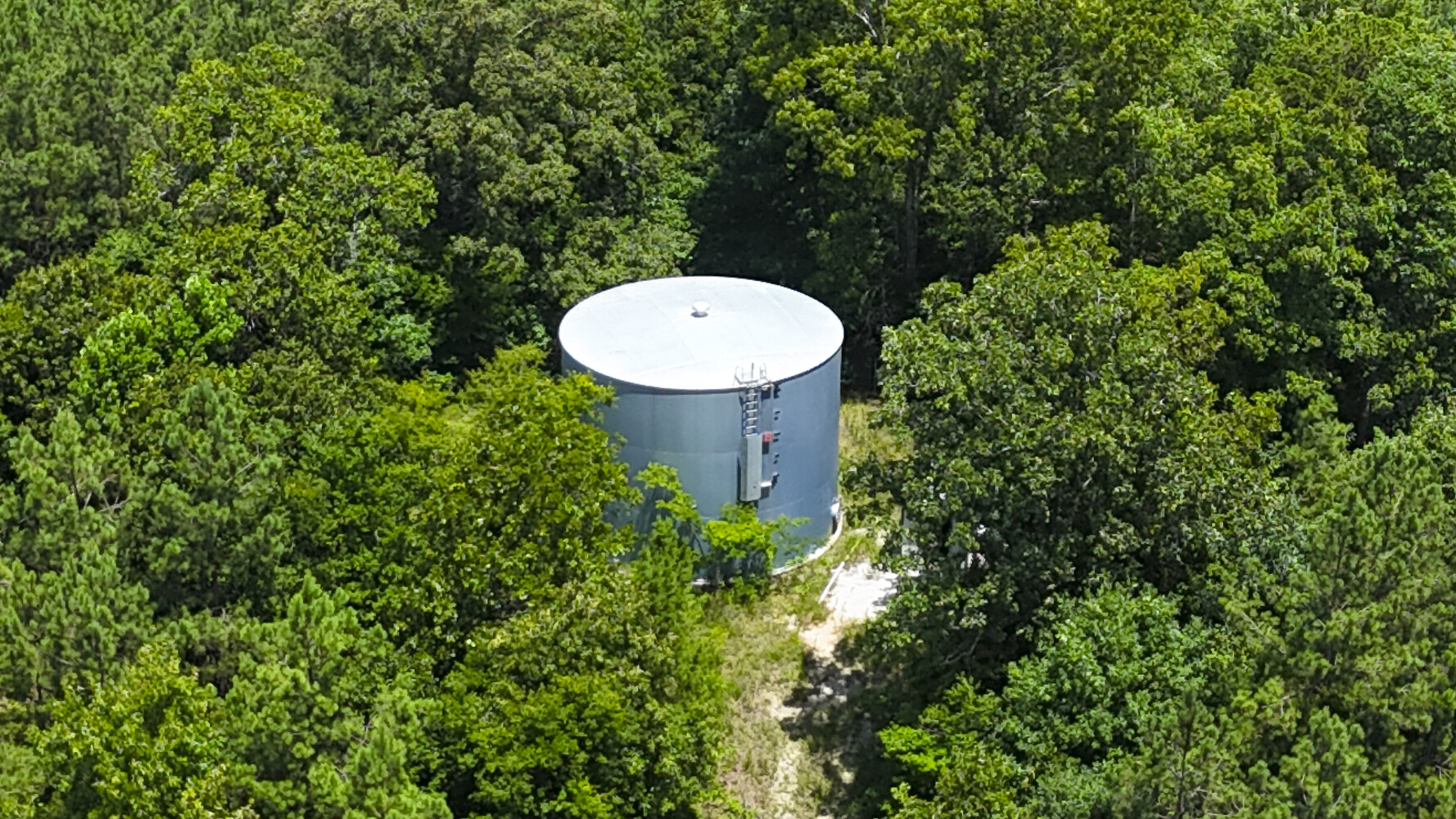
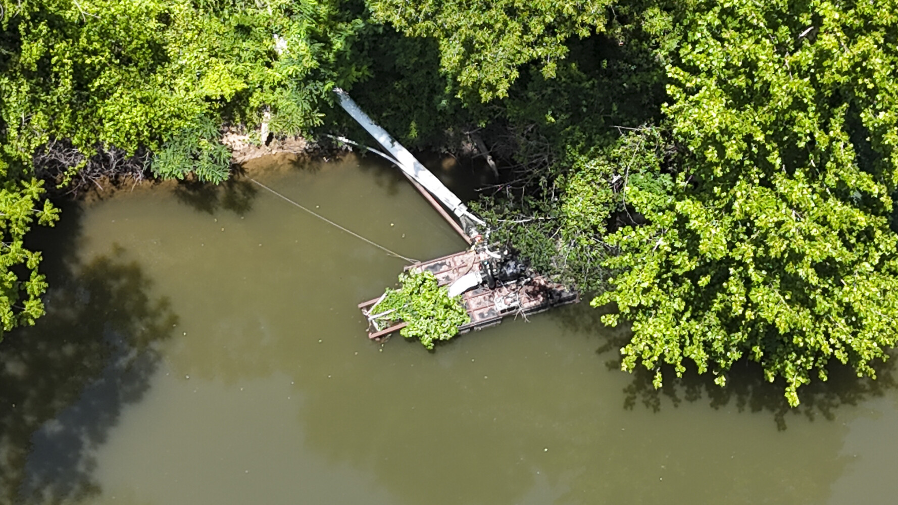
Year-round water flowing in Bear Creek and Johnson Branch irrigate the farmland by pump and relift station. A 40’ x 80’ metal shed with electricity has plenty of space for parking large farm equipment. Few properties in the region offer this combination of natural beauty and documented mineral resources, creating a unique chance to own a productive and strategically located tract in the heart of the Southeast.
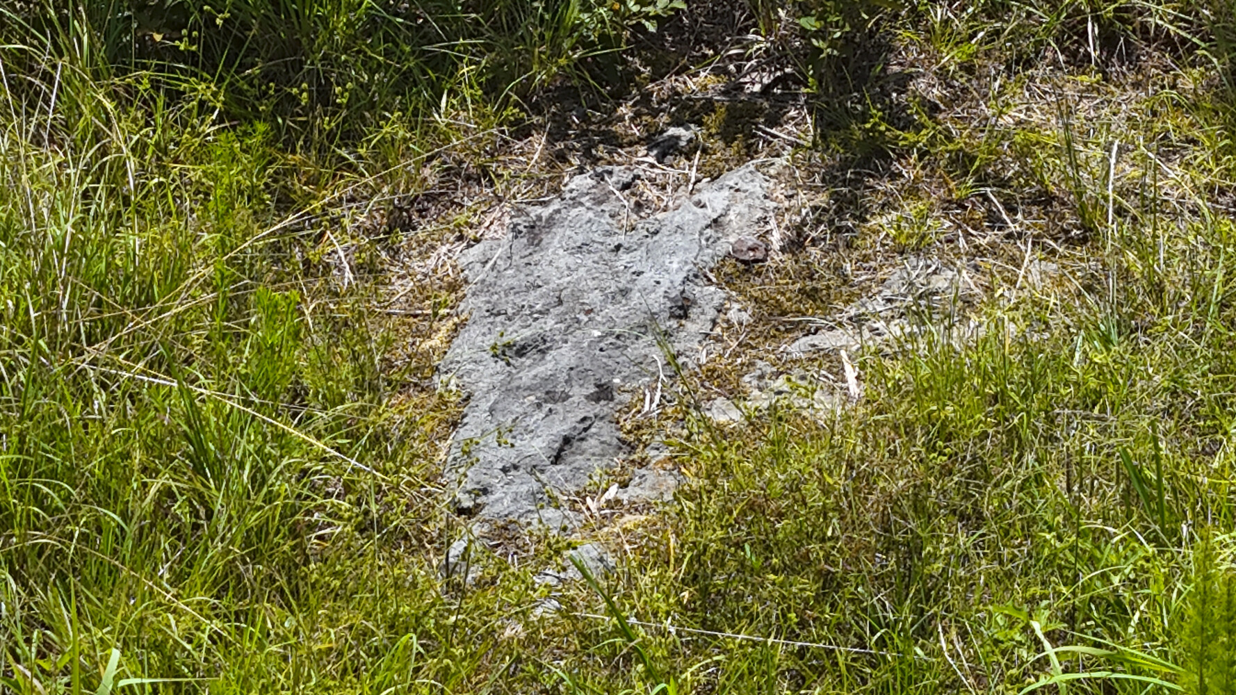
The property represents an attractive investment opportunity in one of the Southeast’s most consistent and resilient industrial sectors: limestone aggregate production. Situated in a region known for its extensive limestone resources and favorable topography for extraction, the property offers potential for long-term mineral development, positioning investors to capitalize on both regional and national construction materials demand. This very diverse property is located on top of formations of Tuscumbia Limestone, Ste. Genevieve Limestone, and Bethel Sandstone. Soil Borings indicate very shallow topsoil, before arriving at the highly desirable mineral resources.
Transportation is readily available by truck, rail, and barge along the nearby Tombigbee and Tennessee Rivers. Sprawling metropolitan areas such as Nashville, Huntsville, and Birmingham are within short drives of the property. Multiple other mining operations have been in existence for nearly half a century within a few miles of the property. The area is well known for being Government-friendly to sub-surface mining.
Parcel #/ID
AL 42605, 42596, 43115, 22615, 42590, 24229, 42604, 43122, MS 1902- -03-001.
Legal Information
Fractional Sec. 26, 27, 32, and 33, T4W R15W
Property Highlights
| Farms & Ranches | Farmland, Ranchland, Crop Production, Barn/Shed/Outbuilding, Grain Storage/Bins, Irrigated, Range/Pasture, Hay Production, Horse Farm |
| Hunting, Fishing & Recreation | Fishing, Upland Game, Turkey, Whitetail Deer, River/Creek/Stream, ATVing, Camping, Wildlife Food Plot, Lake/Pond, Barn/Shed/Outbuilding |
| Timberland Investment | Planted Pine |
| Commercial | Land, Industrial |
| Homes, Cabins, Acreages & Lots | House/Cabin, Barn/Shed/Outbuilding |
- Modest Brick Cabin
- Limestone Mining Opportunity
Estimated Income:
Call Agent for Details
2026 Taxes:
$4,500
Zoning:
Ag
Listing ID#:
3320819
Listing Courtesy of Fay Ranches.
Kimberly Lowry
406-490-4323
klowry@fayranches.com
Location
34.674037345063 , -88.11206123672
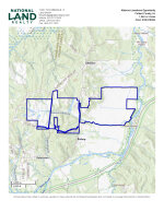
From Cherokee, AL, travel west on Hwy. 71 to the intersection of State Line Road. Turn South (left) onto State Line Road and travel to the intersection of Liberty Road. Turn East (left) onto Liberty Road and travel until Liberty Road intersects with Allsboro Road. Turn South (right) onto Allsboro Road and travel approximately 3.5 miles to the Subject Property located on the right.

Land by State
Land Professionals by State
- Alabama
- Arizona
- Arkansas
- California
- Colorado
- Delaware
- Florida
- Georgia
- Idaho
- Illinois
- Indiana
- Iowa
- Kansas
- Kentucky
- Louisiana
- Maryland
- Minnesota
- Mississippi
- Missouri
- Nebraska
- Nevada
- New Mexico
- North Carolina
- North Dakota
- Ohio
- Oklahoma
- Oregon
- Pennsylvania
- South Carolina
- South Dakota
- Tennessee
- Texas
- Utah
- Vermont
- Virginia
- Washington
- West Virginia
- Wisconsin
- Wyoming
- Alabama
- Arizona
- Arkansas
- California
- Colorado
- Delaware
- District of Columbia
- Florida
- Georgia
- Idaho
- Illinois
- Indiana
- Iowa
- Kansas
- Kentucky
- Louisiana
- Maryland
- Massachusetts
- Michigan
- Minnesota
- Mississippi
- Missouri
- Montana
- Nebraska
- Nevada
- New Jersey
- New Mexico
- New York
- North Carolina
- North Dakota
- Ohio
- Oklahoma
- Oregon
- Pennsylvania
- South Carolina
- South Dakota
- Tennessee
- Texas
- Utah
- Vermont
- Virginia
- Washington
- West Virginia
- Wisconsin
- Wyoming